91.220.10.90 - IP Lookup: Free IP Address Lookup, Postal Code Lookup, IP Location Lookup, IP ASN, Public IP
Country:
Region:
City:
Location:
Time Zone:
Postal Code:
IP information under different IP Channel
ip-api
Country
Region
City
ASN
Time Zone
ISP
Blacklist
Proxy
Latitude
Longitude
Postal
Route
Luminati
Country
ASN
Time Zone
Europe/Berlin
ISP
Peter Hurtenbach
Latitude
Longitude
Postal
IPinfo
Country
Region
City
ASN
Time Zone
ISP
Blacklist
Proxy
Latitude
Longitude
Postal
Route
IP2Location
91.220.10.90Country
Region
rheinland-pfalz
City
asbach
Time Zone
Europe/Berlin
ISP
Language
User-Agent
Latitude
Longitude
Postal
db-ip
Country
Region
City
ASN
Time Zone
ISP
Blacklist
Proxy
Latitude
Longitude
Postal
Route
ipdata
Country
Region
City
ASN
Time Zone
ISP
Blacklist
Proxy
Latitude
Longitude
Postal
Route
Popular places and events near this IP address

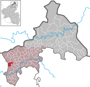
Asbach (Westerwald)
Municipality in Rhineland-Palatinate, Germany
Distance: Approx. 4 meters
Latitude and longitude: 50.66666667,7.42583333
Asbach is a municipality in the district of Neuwied, in Rhineland-Palatinate, Germany. It is situated in the Westerwald, approx. 25 km north of Neuwied, and 25 km south-east of Bonn.

Neustadt (Wied)
Municipality in Rhineland-Palatinate, Germany
Distance: Approx. 5111 meters
Latitude and longitude: 50.62083333,7.42888889
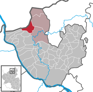
Neustadt (Wied) or Neustadt an der Wied is a municipality in the district of Neuwied in Rhineland-Palatinate, Germany. It is situated about 30 kilometres (20 miles) south-east of Bonn in the Rhine-Westerwald Nature Park. Neustadt is part of the Asbach collective municipality.

Hirz-Maulsbach
Municipality in Rhineland-Palatinate, Germany
Distance: Approx. 4702 meters
Latitude and longitude: 50.68611111,7.485
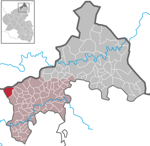
Hirz-Maulsbach is a municipality in the district of Altenkirchen, in Rhineland-Palatinate, in western Germany.

Kescheid
Municipality in Rhineland-Palatinate, Germany
Distance: Approx. 4756 meters
Latitude and longitude: 50.65944444,7.49222222
Kescheid is a municipality in the district of Altenkirchen, in Rhineland-Palatinate, in western Germany.

Kircheib
Municipality in Rhineland-Palatinate, Germany
Distance: Approx. 5241 meters
Latitude and longitude: 50.70944444,7.45694444
Kircheib is a municipality in the district of Altenkirchen, in Rhineland-Palatinate, in western Germany. In 1796, the Battle of Kircheib was fought near the village between France and Austria as part of the War of the First Coalition.

Buchholz, Neuwied
Municipality in Rhineland-Palatinate, Germany
Distance: Approx. 3375 meters
Latitude and longitude: 50.68944444,7.39416667
Buchholz (German pronunciation: [ˈbuːxˌhɔlt͡s] ) is a municipality in the district of Neuwied, in Rhineland-Palatinate, Germany.

Windhagen
Municipality in Rhineland-Palatinate, Germany
Distance: Approx. 5434 meters
Latitude and longitude: 50.64416667,7.3575
Windhagen is a Municipality in the district of Neuwied, in Rhineland-Palatinate, Germany. Its former mayor used to be the oldest German Mayor, at 94 years old when he finally retired.
Asbach (Verbandsgemeinde)
Distance: Approx. 622 meters
Latitude and longitude: 50.667,7.417
Asbach is a Verbandsgemeinde ("collective municipality") in the district of Neuwied, in Rhineland-Palatinate, Germany. The seat of the Verbandsgemeinde is in Asbach.
Adamstal
Distance: Approx. 4642 meters
Latitude and longitude: 50.63611111,7.38111111
Adamstal is a locality in the municipality Windhagen in the district of Neuwied in Rhineland-Palatinate, Germany.
Hüngsberg
Distance: Approx. 4773 meters
Latitude and longitude: 50.63333333,7.38333333
Hüngsberg is a locality in the municipality of Windhagen in the district of Neuwied in Rhineland-Palatinate, Germany.

Thelenberg
Ortsteil of Asbach in Rhineland-Palatinate, Germany
Distance: Approx. 1897 meters
Latitude and longitude: 50.65563611,7.40534722
Thelenberg is a hamlet in the municipality of Asbach in the district of Neuwied in the German state of Rhineland-Palatinate. The village has a rural character, but is increasingly developing into a residential area.

Battle of Kircheib
Battle of the War of the First Coalition
Distance: Approx. 4277 meters
Latitude and longitude: 50.705085,7.428477
The Battle of Kircheib (German: Schlacht bei Kircheib) was a military engagement during the War of the First Coalition. On 19 June 1796, French and Austrian troops clashed at Kircheib in the Westerwald uplands in present-day Germany. Sometimes it is called the Battle of Uckerath (Schlacht bei Uckerath) after another nearby village, Uckerath, which belongs today to Hennef.
Weather in this IP's area
overcast clouds
4 Celsius
0 Celsius
4 Celsius
4 Celsius
1020 hPa
91 %
1020 hPa
994 hPa
10000 meters
4.07 m/s
10.63 m/s
212 degree
91 %