91.198.44.83 - IP Lookup: Free IP Address Lookup, Postal Code Lookup, IP Location Lookup, IP ASN, Public IP
Country:
Region:
City:
Location:
Time Zone:
Postal Code:
IP information under different IP Channel
ip-api
Country
Region
City
ASN
Time Zone
ISP
Blacklist
Proxy
Latitude
Longitude
Postal
Route
Luminati
Country
ASN
Time Zone
Europe/Paris
ISP
Devclic Sarl
Latitude
Longitude
Postal
IPinfo
Country
Region
City
ASN
Time Zone
ISP
Blacklist
Proxy
Latitude
Longitude
Postal
Route
IP2Location
91.198.44.83Country
Region
grand-est
City
courcelles-chaussy
Time Zone
Europe/Paris
ISP
Language
User-Agent
Latitude
Longitude
Postal
db-ip
Country
Region
City
ASN
Time Zone
ISP
Blacklist
Proxy
Latitude
Longitude
Postal
Route
ipdata
Country
Region
City
ASN
Time Zone
ISP
Blacklist
Proxy
Latitude
Longitude
Postal
Route
Popular places and events near this IP address
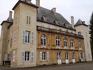
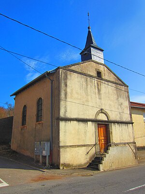
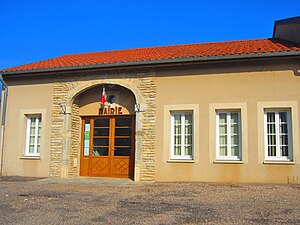
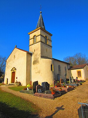
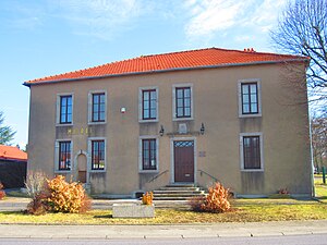
Courcelles-Chaussy
Commune in Grand Est, France
Distance: Approx. 208 meters
Latitude and longitude: 49.11,6.4058
Courcelles-Chaussy (French pronunciation: [kuʁsɛl ʃosi]; German: Kurzel an der Straße) is a commune in the Moselle department in Grand Est in north-eastern France.

Condé-Northen
Commune in Grand Est, France
Distance: Approx. 5622 meters
Latitude and longitude: 49.1553,6.4333
Condé-Northen (German: Contchen-Northen) is a commune in the Moselle department in Grand Est in north-eastern France. Localities of the commune: Condé (German: Contchen), Northen (German: Northen), Loutremange (German: Lautermingen), Pontigny (German: Niedbrücken). Condé-Northen is located on the road from Saarlouis to Metz (D 954), about five kilometers southwest of Boulay-Moselle and about 30 kilometers from the border with Saarland.
Bannay, Moselle
Commune in Grand Est, France
Distance: Approx. 5170 meters
Latitude and longitude: 49.1281,6.4683
Bannay (French pronunciation: [banɛ] ; German: Bizingen) is a commune in the Moselle department in Grand Est in northeastern France.
Bionville-sur-Nied
Commune in Grand Est, France
Distance: Approx. 5636 meters
Latitude and longitude: 49.1056,6.4811
Bionville-sur-Nied (French pronunciation: [bjɔ̃vil syʁ nje], literally Bionville on Nied; Lorraine Franconian Bingen) is a commune in the Moselle department in Grand Est in northeastern France. The locality of Morlange (German: Morlingen) is incorporated in the commune since 1812.
Les Étangs
Commune in Grand Est, France
Distance: Approx. 4199 meters
Latitude and longitude: 49.1431,6.3806
Les Étangs (French pronunciation: [le.z‿etɑ̃]; German: Tennschen) is a commune in the Moselle department in Grand Est in north-eastern France.
Maizeroy
Commune in Grand Est, France
Distance: Approx. 2710 meters
Latitude and longitude: 49.0856,6.3917
Maizeroy (French pronunciation: [mɛzʁwa]; German: Macherich) is a commune in the Moselle department in Grand Est in northeastern France.
Maizery
Part of Colligny-Maizery in Grand Est, France
Distance: Approx. 4903 meters
Latitude and longitude: 49.1064,6.3367
Maizery (French pronunciation: [mɛzʁi]; German: Macheringen) is a former commune in the Moselle department in north-eastern France. On 1 June 2016, it was merged into the new commune of Colligny-Maizery. Its population was 178 in 2019.

Pange
Commune in Grand Est, France
Distance: Approx. 4225 meters
Latitude and longitude: 49.0856,6.3578
Pange (French pronunciation: [pɑ̃ʒ]; German: Spangen an der Nied) is a commune in the Moselle department in Grand Est in north-eastern France.
Servigny-lès-Raville
Commune in Grand Est, France
Distance: Approx. 4823 meters
Latitude and longitude: 49.0792,6.4525
Servigny-lès-Raville (French pronunciation: [sɛʁviɲi lɛ ʁavil], literally Servigny near Raville; German: Silbernachen) is a commune in the Moselle department in Grand Est in north-eastern France.
Silly-sur-Nied
Commune in Grand Est, France
Distance: Approx. 3455 meters
Latitude and longitude: 49.1208,6.3603
Silly-sur-Nied (French pronunciation: [siji syʁ nje], literally Silly on Nied; German: Sillers) is a commune in the Moselle department in Grand Est in north-eastern France.
Varize-Vaudoncourt
Commune in Grand Est, France
Distance: Approx. 5009 meters
Latitude and longitude: 49.1356,6.4589
Varize-Vaudoncourt (French pronunciation: [vaʁiz vodɔ̃kuʁ]; before 2015: Varize, German: Waibelskirchen) is a commune in the Moselle department in Grand Est in north-eastern France.
Canton of Le Pays Messin
Distance: Approx. 471 meters
Latitude and longitude: 49.11,6.41
The canton of Le Pays Messin is an administrative division of the Moselle department, northeastern France. It was created at the French canton reorganisation which came into effect in March 2015. Its seat is in Courcelles-Chaussy.
Weather in this IP's area
clear sky
5 Celsius
1 Celsius
4 Celsius
5 Celsius
1034 hPa
72 %
1034 hPa
1006 hPa
10000 meters
4.13 m/s
11.77 m/s
68 degree
10 %
