Country:
Region:
City:
Latitude and Longitude:
Time Zone:
Postal Code:
IP information under different IP Channel
ip-api
Country
Region
City
ASN
Time Zone
ISP
Blacklist
Proxy
Latitude
Longitude
Postal
Route
Luminati
Country
ASN
Time Zone
Europe/Berlin
ISP
VSE NET GmbH
Latitude
Longitude
Postal
IPinfo
Country
Region
City
ASN
Time Zone
ISP
Blacklist
Proxy
Latitude
Longitude
Postal
Route
db-ip
Country
Region
City
ASN
Time Zone
ISP
Blacklist
Proxy
Latitude
Longitude
Postal
Route
ipdata
Country
Region
City
ASN
Time Zone
ISP
Blacklist
Proxy
Latitude
Longitude
Postal
Route
Popular places and events near this IP address

Abentheuer
Municipality in Rhineland-Palatinate, Germany
Distance: Approx. 4021 meters
Latitude and longitude: 49.64972222,7.10388889
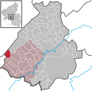
Abentheuer is an Ortsgemeinde – a municipality belonging to a Verbandsgemeinde, a kind of collective municipality – in the Birkenfeld district in Rhineland-Palatinate, Germany. It belongs to the Verbandsgemeinde of Birkenfeld, whose seat is in the like-named town.

Börfink
Municipality in Rhineland-Palatinate, Germany
Distance: Approx. 636 meters
Latitude and longitude: 49.68873611,7.08061111
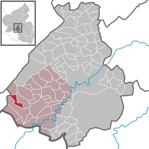
Börfink is an Ortsgemeinde – a municipality belonging to a Verbandsgemeinde, a kind of collective municipality – in the Birkenfeld district in Rhineland-Palatinate, Germany. It belongs to the Verbandsgemeinde of Birkenfeld, whose seat is in the like-named town.

Brücken, Birkenfeld
Municipality in Rhineland-Palatinate, Germany
Distance: Approx. 5448 meters
Latitude and longitude: 49.63788889,7.11150278
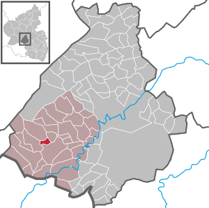
Brücken is an Ortsgemeinde – a municipality belonging to a Verbandsgemeinde, a kind of collective municipality – in the Birkenfeld district in Rhineland-Palatinate, Germany. It belongs to the Verbandsgemeinde of Birkenfeld, whose seat is in the like-named town.

Buhlenberg
Municipality in Rhineland-Palatinate, Germany
Distance: Approx. 4122 meters
Latitude and longitude: 49.65472222,7.11972222
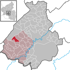
Buhlenberg is an Ortsgemeinde – a municipality belonging to a Verbandsgemeinde, a kind of collective municipality – in the Birkenfeld district in Rhineland-Palatinate, Germany. It belongs to the Verbandsgemeinde of Birkenfeld, whose seat is in the like-named town.

Ellenberg, Rhineland-Palatinate
Municipality in Rhineland-Palatinate, Germany
Distance: Approx. 5384 meters
Latitude and longitude: 49.65944444,7.14833333
Ellenberg is an Ortsgemeinde – a municipality belonging to a Verbandsgemeinde, a kind of collective municipality – in the Birkenfeld district in Rhineland-Palatinate, Germany. It belongs to the Verbandsgemeinde of Birkenfeld, whose seat is in the like-named town.

Gollenberg, Rhineland-Palatinate
Municipality in Rhineland-Palatinate, Germany
Distance: Approx. 5591 meters
Latitude and longitude: 49.67299,7.15929
Gollenberg is an Ortsgemeinde – a municipality belonging to a Verbandsgemeinde, a kind of collective municipality – in the Birkenfeld district in Rhineland-Palatinate, Germany. It belongs to the Verbandsgemeinde of Birkenfeld, whose seat is in the like-named town.

Hattgenstein
Municipality in Rhineland-Palatinate, Germany
Distance: Approx. 5798 meters
Latitude and longitude: 49.69861111,7.16027778
Hattgenstein is an Ortsgemeinde – a municipality belonging to a Verbandsgemeinde, a kind of collective municipality – in the Birkenfeld district in Rhineland-Palatinate, Germany. It belongs to the Verbandsgemeinde of Birkenfeld, whose seat is in the like-named town.

Rinzenberg
Municipality in Rhineland-Palatinate, Germany
Distance: Approx. 3586 meters
Latitude and longitude: 49.67722222,7.13222222
Rinzenberg is an Ortsgemeinde – a municipality belonging to a Verbandsgemeinde, a kind of collective municipality – in the Birkenfeld district in Rhineland-Palatinate, Germany. It belongs to the Verbandsgemeinde of Birkenfeld, whose seat is in the like-named town.

Oberhambach
Municipality in Rhineland-Palatinate, Germany
Distance: Approx. 5544 meters
Latitude and longitude: 49.68567222,7.16021667
Oberhambach is an Ortsgemeinde – a municipality belonging to a Verbandsgemeinde, a kind of collective municipality – in the Birkenfeld district in Rhineland-Palatinate, Germany. It belongs to the Verbandsgemeinde of Birkenfeld, whose seat is in the like-named town. Oberhambach is a tourism resort.

Erbeskopf
Mountain in southwest Germany
Distance: Approx. 5274 meters
Latitude and longitude: 49.730444,7.090639
The Erbeskopf () is a mountain in the Hunsrück range in central Germany. At a height of 816 metres (2,677 ft), it is the highest point in the state of Rhineland-Palatinate, as well as the highest point of German territory on the western bank of the Rhine. It lies within the Saar-Hunsrück Nature Park.
Dollberge
Mountain range in Germany
Distance: Approx. 5169 meters
Latitude and longitude: 49.65,7.03333333
The Dollberge are a small mountain range in the northern Saarland and the adjoining part of the state of Rhineland-Palatinate in Germany. They form a southeastern element of the Schwarzwälder Hochwald, a region in the Hunsrück mountains, and are up to 707.4 m above sea level (NN).
Friedrichskopf (Dollberge)
Distance: Approx. 3083 meters
Latitude and longitude: 49.660083,7.06
The Friedrichskopf near Brücken in the county of Birkenfeld in the German state of Rhineland-Palatinate is 707.4 m above sea level (NHN) and the highest mountain in the Dollberge, a small range in the Schwarzwälder Hochwald region of the Hunsrück mountains.
Weather in this IP's area
scattered clouds
3 Celsius
1 Celsius
3 Celsius
4 Celsius
1031 hPa
98 %
1031 hPa
969 hPa
10000 meters
2.58 m/s
6.93 m/s
39 degree
43 %
07:40:43
16:51:28