91.126.104.252 - IP Lookup: Free IP Address Lookup, Postal Code Lookup, IP Location Lookup, IP ASN, Public IP
Country:
Region:
City:
Location:
Time Zone:
Postal Code:
ISP:
ASN:
language:
User-Agent:
Proxy IP:
Blacklist:
IP information under different IP Channel
ip-api
Country
Region
City
ASN
Time Zone
ISP
Blacklist
Proxy
Latitude
Longitude
Postal
Route
db-ip
Country
Region
City
ASN
Time Zone
ISP
Blacklist
Proxy
Latitude
Longitude
Postal
Route
IPinfo
Country
Region
City
ASN
Time Zone
ISP
Blacklist
Proxy
Latitude
Longitude
Postal
Route
IP2Location
91.126.104.252Country
Region
cantabria
City
cabezon de la sal
Time Zone
Europe/Madrid
ISP
Language
User-Agent
Latitude
Longitude
Postal
ipdata
Country
Region
City
ASN
Time Zone
ISP
Blacklist
Proxy
Latitude
Longitude
Postal
Route
Popular places and events near this IP address

Comillas
Municipality in Cantabria, Spain
Distance: Approx. 9786 meters
Latitude and longitude: 43.38694444,-4.28944444
Comillas is a small township and municipality in the northern reaches of Spain, in the autonomous community of Cantabria. The Marquessate of Comillas, a fiefdom of Spanish nobility, holds ceremonial office in the seat of power at a small castle which overlooks the town. The Comillas Pontifical University was housed here before it moved to Madrid, and the old university buildings are among the finest examples of architecture in the town.

Western coast of Cantabria
Comarca in Cantabria, Spain
Distance: Approx. 8178 meters
Latitude and longitude: 43.37138889,-4.28722222
The Western Coast of Cantabria is a comarca of said Spanish autonomous community which comprises the municipalities of Val de San Vicente, San Vicente de la Barquera, Valdáliga, Comillas, Udías, Ruiloba, Alfoz de Lloredo and Santillana del Mar. As its own name indicates, this comarca extends over the western coast of the autonomous community, from its border with Asturias by the mouth of the Deva River, to the Saja-Besaya mouth in Suances, although this limits may vary depending on the source, since this comarca, as the rest of Cantabria's, is not regulated, but there are common characteristic elements in the municipalities that belong to it. This zone has great tourism assets like beaches, nature, gastronomy and culture.

Alfoz de Lloredo
Municipality in Cantabria, Spain
Distance: Approx. 9280 meters
Latitude and longitude: 43.37916667,-4.17555556
Alfoz de Lloredo is a municipality located in the autonomous community of Cantabria, Spain. According to the 2007 census, the city has a population of 2.538 inhabitants. Its capital is Novales.

Cabezón de la Sal
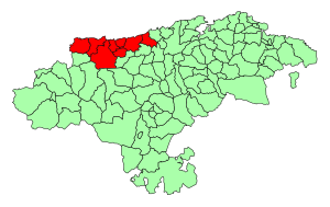
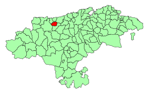
Municipality in Cantabria, Spain
Distance: Approx. 271 meters
Latitude and longitude: 43.3075,-4.2325
Cabezón de la Sal is a municipality located in the autonomous community of Cantabria, Spain. According to the 2023 census, the town has a population of 8,181 inhabitants.

Sierra del Escudo de Cabuérniga
Distance: Approx. 8026 meters
Latitude and longitude: 43.26666667,-4.31666667
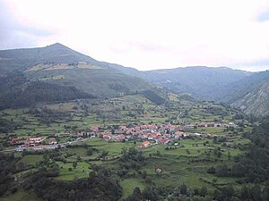
The Sierra del Escudo de Cabuérniga is a mountain range in Cantabria, Spain. It is a northern foothill of the Cantabrian Mountains, located between the main ranges and the Bay of Biscay. Its highest point is 927 m high Gándara.
SD Textil Escudo
Association football club in Spain
Distance: Approx. 1035 meters
Latitude and longitude: 43.298929,-4.23669
Sociedad Deportiva Textil Escudo is a football team based in Cabezón de la Sal in the autonomous community of Cantabria. Founded in 1925, the team plays in the Tercera División RFEF – Group 3. The club's home ground is Campo de Fútbol Juan María Parés Serra, which has a capacity of 1,500 spectators.

Ruiloba
Place in Cantabria, Spain
Distance: Approx. 8270 meters
Latitude and longitude: 43.38166667,-4.25083333
Ruiloba is a municipality in Cantabria Province, Spain.

Ruente
Place in Cantabria, Spain
Distance: Approx. 5965 meters
Latitude and longitude: 43.2594,-4.2661
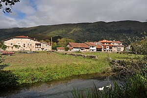
Ruente is a municipality in Cantabria, Spain. It is situated in the lowest part of the Cabuerniga valley and it is the biggest village in the zone.

Valdáliga
Place in Cantabria, Spain
Distance: Approx. 9481 meters
Latitude and longitude: 43.32916667,-4.34916667
Valdáliga is a municipality in Cantabria, Spain.

Udías
Municipality in Cantabria, Spain
Distance: Approx. 3476 meters
Latitude and longitude: 43.33833333,-4.24694444
Udías is a municipality located in the autonomous community of Cantabria, Spain.

El Capricho
Building in Comillas , Spain
Distance: Approx. 9588 meters
Latitude and longitude: 43.3837,-4.2927
El Capricho is a villa in Comillas (Cantabria), Spain, designed by Antoni Gaudí. It was built in 1883–1885 for the summer use of a wealthy client, Máximo Díaz de Quijano, who died a year before the house was completed. Gaudí, who designed only a small number of buildings outside Catalonia, was involved with other projects at Comillas.
Weather in this IP's area
overcast clouds
6 Celsius
3 Celsius
6 Celsius
6 Celsius
1010 hPa
85 %
1010 hPa
969 hPa
9158 meters
3.92 m/s
6.46 m/s
239 degree
93 %