Country:
Region:
City:
Latitude and Longitude:
Time Zone:
Postal Code:
IP information under different IP Channel
ip-api
Country
Region
City
ASN
Time Zone
ISP
Blacklist
Proxy
Latitude
Longitude
Postal
Route
Luminati
Country
Region
ph
City
ploiesti
ASN
Time Zone
Europe/Bucharest
ISP
Orange Romania S.A.
Latitude
Longitude
Postal
IPinfo
Country
Region
City
ASN
Time Zone
ISP
Blacklist
Proxy
Latitude
Longitude
Postal
Route
db-ip
Country
Region
City
ASN
Time Zone
ISP
Blacklist
Proxy
Latitude
Longitude
Postal
Route
ipdata
Country
Region
City
ASN
Time Zone
ISP
Blacklist
Proxy
Latitude
Longitude
Postal
Route
Popular places and events near this IP address

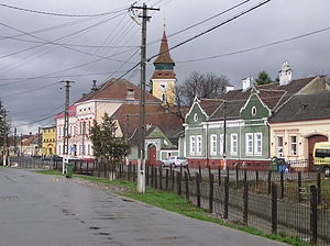
Codlea
Municipality in Brașov, Romania
Distance: Approx. 423 meters
Latitude and longitude: 45.69694444,25.44388889
Codlea (Romanian pronunciation: [ˈkodle̯a]; German: Zeiden; Transylvanian Saxon dialect: Zäöeden; Hungarian: Feketehalom) is a city in Brașov County, Transylvania, Romania.
Vulcan, Brașov
Commune in Brașov, Romania
Distance: Approx. 7582 meters
Latitude and longitude: 45.63527778,25.41722222
Vulcan (German: Wolkendorf; Hungarian: Szászvolkány) is a commune in Brașov County, Transylvania, Romania, 16 km west of the county capital Brașov. It is composed of two villages, Colonia 1 Mai (Konkordiabányatelep) and Vulcan. It also included Holbav village until 2004, when it was split off to form a separate commune.

Ghimbav
Town in Brașov, Romania
Distance: Approx. 6221 meters
Latitude and longitude: 45.66277778,25.50611111
Ghimbav (German: Weidenbach; Hungarian: Vidombák) is a town in Brașov County, Transylvania, central Romania.

Brașov-Ghimbav International Airport
Airport in Brașov, Romania
Distance: Approx. 5701 meters
Latitude and longitude: 45.70166667,25.52
Brașov-Ghimbav International Airport (Romanian: Aeroportul Internațional Brașov-Ghimbav, IATA: GHV, ICAO: LRBV) is an airport located in Ghimbav, near Brașov, Romania. It is the first airport to be built in Romania in the last 50 years, and the 17th commercial airport in the country. Flights commenced on 15 June 2023.

Canalul Timiș
Canal in Romania
Distance: Approx. 9304 meters
Latitude and longitude: 45.69055556,25.56555556
The Canalul Timiș (Timiș Canal) is a canal linking the rivers Timiș and Ghimbășel in Brașov County, central Romania. It is 14 km (8.7 mi) long, and was first documented in the year 1500. The canal starts at Dâmbul Morii near Timișu de Jos, running parallel to the river Timiș until Dârste, where it turns to the northwest.

Cristian, Brașov
Commune in Brașov, Romania
Distance: Approx. 7973 meters
Latitude and longitude: 45.6333,25.4833
Cristian (German: Neustadt; Hungarian: Keresztényfalva) is a commune in Brașov County, Transylvania, Romania. It is composed of a single village, Cristian.

Dumbrăvița, Brașov
Commune in Brașov, Romania
Distance: Approx. 7476 meters
Latitude and longitude: 45.7667,25.4333
Dumbrăvița (until 1960 Țânțari; German: Schnackendorf; Hungarian: Szunyogszék) is a commune in Brașov County, Transylvania, Romania. It is composed of two villages, Dumbrăvița and Vlădeni (Wladein; Vledény). The commune is located in the central part of the county, 10 km (6.2 mi) north of Codlea and 24 km (15 mi) from the county seat, Brașov, in the western part of the Burzenland region.
Holbav
Commune in Brașov, Romania
Distance: Approx. 7451 meters
Latitude and longitude: 45.65,25.38333333
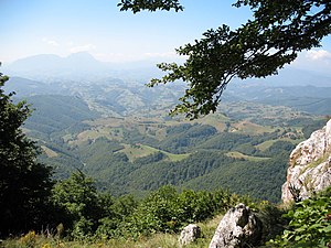
Holbav (German: Holbach; Hungarian: Holbák) is a commune in Brașov County, Transylvania, Romania. It is composed of a single village, Holbav, part of Vulcan Commune until 2004, when it was split off. The commune lies on the banks of the river Holbav, at the foot of the Perșani Mountains.
Weather in this IP's area
broken clouds
13 Celsius
11 Celsius
13 Celsius
14 Celsius
1000 hPa
56 %
1000 hPa
935 hPa
10000 meters
13.86 m/s
19.67 m/s
210 degree
66 %
07:25:06
16:43:02

