Country:
 Switzerland
Region:
City:
Latitude and Longitude:
Time Zone:
Postal Code:
IP information under different IP Channel
ip-api
Country
Region
City
ASN
Time Zone
ISP
Blacklist
Proxy
Latitude
Longitude
Postal
Route
IPinfo
Country
Region
City
ASN
Time Zone
ISP
Blacklist
Proxy
Latitude
Longitude
Postal
Route
MaxMind
Country
Region
City
ASN
Time Zone
ISP
Blacklist
Proxy
Latitude
Longitude
Postal
Route
Luminati
Country
CHRegion
ag
City
spreitenbach
ASN
Time Zone
Europe/Zurich
ISP
green.ch AG
Latitude
Longitude
Postal
db-ip
Country
Region
City
ASN
Time Zone
ISP
Blacklist
Proxy
Latitude
Longitude
Postal
Route
ipdata
Country
Region
City
ASN
Time Zone
ISP
Blacklist
Proxy
Latitude
Longitude
Postal
Route
Popular places and events near this IP address

Egerkingen
Municipality in Solothurn, Switzerland
Distance: Approx. 3862 meters
Latitude and longitude: 47.31666667,7.8
Egerkingen is a municipality in the district of Gäu in the canton of Solothurn in Switzerland.
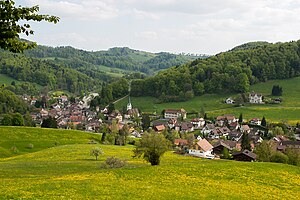
Niederbuchsiten
Municipality in Solothurn, Switzerland
Distance: Approx. 3381 meters
Latitude and longitude: 47.3,7.76666667
Niederbuchsiten is a municipality in the district of Gäu in the canton of Solothurn in Switzerland.

Oberbuchsiten
Municipality in Solothurn, Switzerland
Distance: Approx. 3381 meters
Latitude and longitude: 47.3,7.76666667
Oberbuchsiten is a municipality in the district of Gäu in the canton of Solothurn in Switzerland.
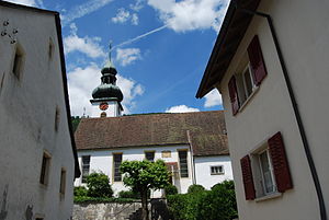
Holderbank, Solothurn
Municipality in Solothurn, Switzerland
Distance: Approx. 537 meters
Latitude and longitude: 47.33333333,7.75
Holderbank is a municipality in the district of Thal in the canton of Solothurn in Switzerland.
Mümliswil-Ramiswil
Municipality in Solothurn, Switzerland
Distance: Approx. 3957 meters
Latitude and longitude: 47.33333333,7.7
Mümliswil-Ramiswil is a municipality in the district of Thal in the canton of Solothurn in Switzerland.
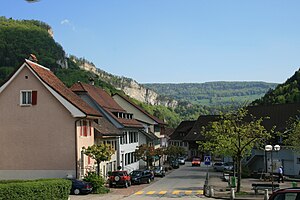
Langenbruck
Municipality in Basel-Landschaft, Switzerland
Distance: Approx. 2617 meters
Latitude and longitude: 47.35,7.76666667
Langenbruck is a municipality in the district of Waldenburg in the canton of Basel-Landschaft in Switzerland.
Oberer Hauenstein Pass
Distance: Approx. 2709 meters
Latitude and longitude: 47.35166667,7.76388889
Oberer Hauenstein Pass (el. 731 m.) is a mountain pass in the Jura Mountains on the border between the cantons of Basel-Country and Solothurn in Switzerland. It connects Balsthal and Waldenburg.

Sculpture at Schoenthal
Distance: Approx. 3767 meters
Latitude and longitude: 47.3594,7.773
Sculpture at Schoenthal is an art foundation in Switzerland. It is named after the Schönthal Monastery, a former church near the village of Langenbruck, Basel-Landschaft, which is now used for temporary art exhibitions. An array of sculptures, including some by well-known artists, is dotted around the monastery area and the surrounding countryside.

Neu-Falkenstein Castle
Distance: Approx. 3237 meters
Latitude and longitude: 47.32277778,7.71
Neu-Falkenstein Castle is a castle in the municipality of Balsthal of the Canton of Solothurn in Switzerland. It is a Swiss heritage site of national significance.

Alt-Bechburg Castle
Distance: Approx. 1535 meters
Latitude and longitude: 47.33222222,7.77166667
Alt-Bechburg Castle is a castle in the municipality of Holderbank of the Canton of Solothurn in Switzerland. It is a Swiss heritage site of national significance.

Egerkingen railway station
Railway station in Switzerland
Distance: Approx. 3864 meters
Latitude and longitude: 47.31485694,7.79895389
Egerkingen railway station (German: Bahnhof Egerkingen) is a railway station in the municipality of Egerkingen, in the Swiss canton of Solothurn. It is an intermediate stop on the standard gauge Jura Foot line of Swiss Federal Railways.

Oberbuchsiten railway station
Railway station in Switzerland
Distance: Approx. 3006 meters
Latitude and longitude: 47.305237,7.77171369
Oberbuchsiten railway station (German: Bahnhof Oberbuchsiten) is a railway station in the municipality of Oberbuchsiten, in the Swiss canton of Solothurn. It is an intermediate stop on the standard gauge Jura Foot line of Swiss Federal Railways.
Weather in this IP's area
overcast clouds
13 Celsius
13 Celsius
12 Celsius
14 Celsius
1015 hPa
88 %
1015 hPa
930 hPa
10000 meters
1.45 m/s
3.51 m/s
287 degree
100 %
07:51:54
18:35:56