Country:
Region:
City:
Latitude and Longitude:
Time Zone:
Postal Code:
IP information under different IP Channel
ip-api
Country
Region
City
ASN
Time Zone
ISP
Blacklist
Proxy
Latitude
Longitude
Postal
Route
Luminati
Country
ASN
Time Zone
Europe/Rome
ISP
ASDASD srl a socio unico
Latitude
Longitude
Postal
IPinfo
Country
Region
City
ASN
Time Zone
ISP
Blacklist
Proxy
Latitude
Longitude
Postal
Route
db-ip
Country
Region
City
ASN
Time Zone
ISP
Blacklist
Proxy
Latitude
Longitude
Postal
Route
ipdata
Country
Region
City
ASN
Time Zone
ISP
Blacklist
Proxy
Latitude
Longitude
Postal
Route
Popular places and events near this IP address

Talla, Arezzo
Comune in Tuscany, Italy
Distance: Approx. 9074 meters
Latitude and longitude: 43.60277778,11.78805556
Talla is a town and comune in the province of Arezzo, Tuscany (Italy).
Laterina
Frazione in Tuscany, Italy
Distance: Approx. 9500 meters
Latitude and longitude: 43.5,11.71666667
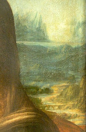
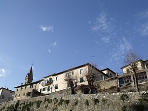
Laterina is a frazione of Laterina Pergine Valdarno in the Province of Arezzo in the Italian region Tuscany, located about 50 kilometres (31 mi) southeast of Florence and about 14 kilometres (9 mi) northwest of Arezzo. The Romito di Laterina, the bridge in the background of the Mona Lisa, is located in Laterina.

Terranuova Bracciolini
Comune in Tuscany, Italy
Distance: Approx. 8497 meters
Latitude and longitude: 43.55,11.58333333
Terranuova Bracciolini is a comune (municipality) in the Province of Arezzo in the Italian region Tuscany, located about 35 kilometres (22 mi) southeast of Florence and about 25 kilometres (16 mi) northwest of Arezzo. Terranuova Bracciolini borders the following municipalities: Castelfranco Piandiscò, Castiglion Fibocchi, Laterina Pergine Valdarno, Loro Ciuffenna, Montevarchi, San Giovanni Valdarno. Known historically as just Terranuova, the municipality was the birthplace in 1380 of the famed early humanist Poggio Bracciolini, for which it was renamed in 1862.
Pratomagno
Mountain in Italy
Distance: Approx. 8043 meters
Latitude and longitude: 43.65,11.65
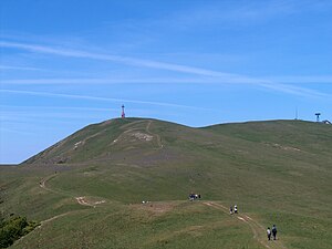
The Pratomagno is a mountain range, which has the Arno River on both sides: to the west is the upper Valdarno and to the east is the Casentino. It lies north-west of the city of Arezzo, in Tuscany, Italy. Its highest peak has an elevation of 1,592 m.

Romito di Laterina bridge
Bridge in Laterina, Italy
Distance: Approx. 9080 meters
Latitude and longitude: 43.49944444,11.67805556
The Romito di Laterina Bridge is a four arched bridge from Etruscan-Roman times located in Laterina in the Province of Arezzo, Italy. In 2023, Italian historian Silvano Vinceti proposed it could be the bridge in background of Leonardo da Vinci's painting, Mona Lisa.
Weather in this IP's area
clear sky
6 Celsius
4 Celsius
4 Celsius
7 Celsius
1023 hPa
86 %
1023 hPa
944 hPa
10000 meters
2.46 m/s
2.59 m/s
47 degree
07:02:21
16:52:28

