Country:
 Switzerland
Region:
City:
Latitude and Longitude:
Time Zone:
Postal Code:
IP information under different IP Channel
ip-api
Country
Region
City
ASN
Time Zone
ISP
Blacklist
Proxy
Latitude
Longitude
Postal
Route
IPinfo
Country
Region
City
ASN
Time Zone
ISP
Blacklist
Proxy
Latitude
Longitude
Postal
Route
MaxMind
Country
Region
City
ASN
Time Zone
ISP
Blacklist
Proxy
Latitude
Longitude
Postal
Route
Luminati
Country
CHRegion
vs
City
monthey
ASN
Time Zone
Europe/Zurich
ISP
netplus.ch SA
Latitude
Longitude
Postal
db-ip
Country
Region
City
ASN
Time Zone
ISP
Blacklist
Proxy
Latitude
Longitude
Postal
Route
ipdata
Country
Region
City
ASN
Time Zone
ISP
Blacklist
Proxy
Latitude
Longitude
Postal
Route
Popular places and events near this IP address
Val d'Illiez
Distance: Approx. 4294 meters
Latitude and longitude: 46.2,6.9
The Val d'Illiez is a valley in the Canton of Valais, Switzerland. It separates the northern foothills of the Chablais Alps from the Dents du Midi.

Troistorrents
Municipality in Valais, Switzerland
Distance: Approx. 1875 meters
Latitude and longitude: 46.23333333,6.91666667
Troistorrents (French pronunciation: [tʁwatɔʁɑ̃]; Arpitan: Trètorrent) is a municipality in the district of Monthey in the canton of Valais in Switzerland.
Val-d'Illiez
Municipality in Valais, Switzerland
Distance: Approx. 4294 meters
Latitude and longitude: 46.2,6.9
Val-d'Illiez is a municipality in the district of Monthey in the canton of Valais in Switzerland.

Pas de Morgins
Distance: Approx. 3876 meters
Latitude and longitude: 46.24972222,6.84583333
Pas de Morgins (el. 1369 m.) is a high mountain pass in the Alps between the canton of Valais in Switzerland and France. It is located at the top of the Val de Morgins, which turns off the Val d'Illiez at Troistorrents.
Monthey District
District in Switzerland
Distance: Approx. 3628 meters
Latitude and longitude: 46.27027778,6.9025
The district of Monthey is a district of the canton of Valais in Switzerland. It has a population of 47,912 (as of 31 December 2020).
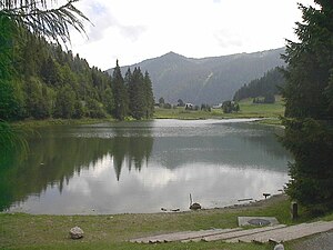
Lac de Morgins
Distance: Approx. 3777 meters
Latitude and longitude: 46.24861111,6.84666667
Lac de Morgins is a lake in Valais, Switzerland. It is located at Morgins (municipality of Troistorrents), near the Pas de Morgins, the pass into France.

Pointe de Bellevue
Mountain in Switzerland
Distance: Approx. 2185 meters
Latitude and longitude: 46.2575,6.8875
The Pointe de Bellevue (French pronunciation: [pwɛ̃t də bɛlvy]) is a mountain in the Chablais Alps, overlooking Monthey in Valais.

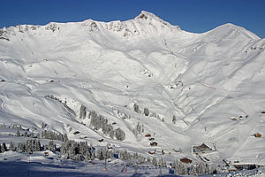
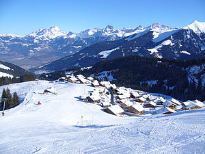
Morgins
Swiss village
Distance: Approx. 3195 meters
Latitude and longitude: 46.2382,6.8519
Morgins is a village in the municipality of Troistorrents in the district of Monthey in the canton of Valais in southern Switzerland. It is noted for skiing and is part of the Portes du Soleil ski resort. It is located at 1333 m in the Val de Morgins, a side valley of the Val d'Illiez in the Chablais Alps at the foot of the Dents du Midi.

Lac de Conche
Distance: Approx. 3783 meters
Latitude and longitude: 46.26472222,6.8625
Lac de Conche is a lake in the canton of Valais, Switzerland. It is located in the municipality of Collombey-Muraz, at an elevation of 1687 m, close to the French border.
Lac de la Mouille
Distance: Approx. 3999 meters
Latitude and longitude: 46.2625,6.855
Lac de la Mouille is a lake in Haute-Savoie, France.
Champoussin
Distance: Approx. 4238 meters
Latitude and longitude: 46.20666667,6.86277778
Champoussin is a village in the Swiss Alps, located in the canton of Valais. The village is situated in the western part of the canton, near Champéry, in the municipality of Val-d'Illiez. Champoussin lies at a height of 1,597 metres above sea level, on the eastern flanks of Pointe de l'Au.
Bec du Corbeau
Mountain in Switzerland
Distance: Approx. 2954 meters
Latitude and longitude: 46.25416667,6.86263889
The Bec du Corbeau (1,992 m) is a mountain of the Chablais Alps, overlooking Morgins in the Swiss canton of Valais. It lies west of Pointe de Bellevue, on the watershed between the valleys of the Dranse d'Abondance and Illiez. The French border runs west of the mountain.
Weather in this IP's area
overcast clouds
14 Celsius
14 Celsius
13 Celsius
14 Celsius
1010 hPa
89 %
1010 hPa
871 hPa
10000 meters
1.85 m/s
1.71 m/s
302 degree
100 %
07:02:06
19:58:17