74.212.142.129 - IP Lookup: Free IP Address Lookup, Postal Code Lookup, IP Location Lookup, IP ASN, Public IP
Country:
Region:
City:
Location:
Time Zone:
Postal Code:
IP information under different IP Channel
ip-api
Country
Region
City
ASN
Time Zone
ISP
Blacklist
Proxy
Latitude
Longitude
Postal
Route
Luminati
Country
ASN
Time Zone
America/Chicago
ISP
TWRS-SF
Latitude
Longitude
Postal
IPinfo
Country
Region
City
ASN
Time Zone
ISP
Blacklist
Proxy
Latitude
Longitude
Postal
Route
IP2Location
74.212.142.129Country
Region
california
City
san francisco
Time Zone
America/Los_Angeles
ISP
Language
User-Agent
Latitude
Longitude
Postal
db-ip
Country
Region
City
ASN
Time Zone
ISP
Blacklist
Proxy
Latitude
Longitude
Postal
Route
ipdata
Country
Region
City
ASN
Time Zone
ISP
Blacklist
Proxy
Latitude
Longitude
Postal
Route
Popular places and events near this IP address

Strawberry Hill (San Francisco)
Hill in San Francisco
Distance: Approx. 915 meters
Latitude and longitude: 37.7685412,-122.4755271
Strawberry Hill is a hill in San Francisco, California, near the center of Golden Gate Park. The hill occupies an entire island in the park's man-made Blue Heron Lake, and is connected by two bridges to the mainland of the park. The island is covered with a variety of trees and shrubbery and contains several trails and dirt steps that encircle and lead to the top of the hill.

Hardly Strictly Bluegrass
Annual music festival in San Francisco
Distance: Approx. 960 meters
Latitude and longitude: 37.7698,-122.483848
Hardly Strictly Bluegrass (HSB), originally Strictly Bluegrass, is an annual free and non-commercial music festival held the first weekend of October in Golden Gate Park in San Francisco, California. Conceived and subsidized by San Francisco venture capitalist Warren Hellman, the festival has been held every year since the first event in 2001. From its outset, the festival has been subsidized by Hellman.

Outside Lands
Distance: Approx. 802 meters
Latitude and longitude: 37.76868056,-122.48159444
Outside Lands was the name used in the 19th century for the present-day Richmond District and Sunset District in San Francisco. With few roads and no public transportation, the area was covered by sand dunes and was considered inaccessible and uninhabitable. Today, after extensive development, the area consists of Golden Gate Park, Ocean Beach, and well-developed neighborhoods.
San Fran Dhammaram Temple
Distance: Approx. 645 meters
Latitude and longitude: 37.764935,-122.486799
The San Fran Dhammaram Temple is the only Thai Buddhist temple in the city of San Francisco.

Judah and Funston station
Distance: Approx. 919 meters
Latitude and longitude: 37.76204,-122.47048
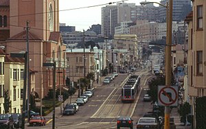
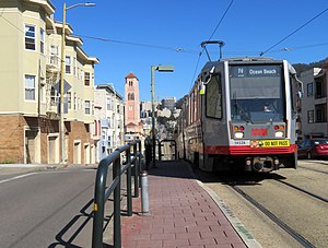
Judah and Funston station is a light rail stop on the Muni Metro N Judah line, located in the Sunset District neighborhood of San Francisco, California adjacent to the St. Anne of the Sunset Church. The station opened with the N Judah line on October 21, 1928.
Judah and 15th Avenue / Judah and 16th Avenue stations
Distance: Approx. 627 meters
Latitude and longitude: 37.76191,-122.47379
Judah and 15th Avenue / Judah and 16th Avenue stations are a pair of light rail stops on the Muni Metro N Judah line, located in the Sunset District neighborhood of San Francisco, California. The eastbound stop is located on Judah Street at 15th Avenue, while westbound trains stop on Judah Street at 16th Avenue. The stops opened with the N Judah line on October 21, 1928.
Judah and 19th Avenue station
Distance: Approx. 341 meters
Latitude and longitude: 37.7617,-122.47703
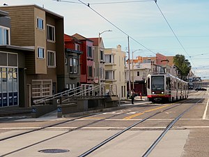
Judah and 19th Avenue station is a light rail stop on the Muni Metro N Judah line, located in the Sunset District neighborhood of San Francisco, California where Judah Street crosses 19th Avenue (California Route 1). The station opened with the N Judah line on October 21, 1928. The station has two short side platforms in the middle of Judah Street (traffic islands) where passengers board or depart from trains.
Judah and 22nd Avenue / Judah and 23rd Avenue stations
Distance: Approx. 33 meters
Latitude and longitude: 37.76152,-122.48127
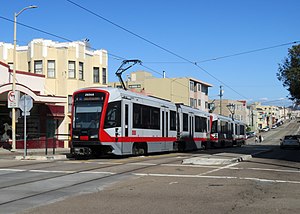
Judah and 22nd Avenue / Judah and 23rd Avenue stations are a pair of light rail stops on the Muni Metro N Judah line, located in the Sunset District neighborhood of San Francisco, California. The eastbound stop is located on Judah Street at 22nd Avenue, while westbound trains stop on Judah Street at 23rd Avenue. The stops opened with the N Judah line on October 21, 1928.
Judah and 25th Avenue station
Light rail stop in San Francisco
Distance: Approx. 222 meters
Latitude and longitude: 37.76142,-122.48342
Judah and 25th Avenue is a light rail stop on the Muni Metro N Judah line, located in the Sunset District neighborhood of San Francisco, California. The station opened with the N Judah line on October 21, 1928. The station has two short side platforms in the middle of Judah Street (traffic islands) where passengers board or depart from trains.
Judah and 28th Avenue station
Distance: Approx. 506 meters
Latitude and longitude: 37.76129,-122.48664
Judah and 28th Avenue is a light rail stop on the Muni Metro N Judah line, located in the Sunset District neighborhood of San Francisco, California. The stop opened with the N Judah line on October 21, 1928. The station has two side platforms in the middle of Judah Street (traffic islands) where passengers board or depart from trains.
Judah and 31st Avenue station
Distance: Approx. 790 meters
Latitude and longitude: 37.76112,-122.48986
Judah and 31st Avenue station is a light rail stop on the Muni Metro N Judah line, located in the Sunset District neighborhood of San Francisco, California. The station opened with the N Judah line on October 21, 1928. The station has two short side platforms in the middle of Judah Street (traffic islands) where passengers board or depart from trains.

16th Avenue Tiled Steps
Staircase in San Francisco, California
Distance: Approx. 893 meters
Latitude and longitude: 37.75627778,-122.47319444
The 16th Avenue Tiled Steps, colloquially known as the Moraga Steps, is a stairway in the Golden Gate Heights neighborhood in San Francisco, California. Fodor's calls it "possibly the world's largest mosaic staircase", and it leads up to Grandview Park. The flight contains 163 steps stretching 90 feet (27 m) high.
Weather in this IP's area
overcast clouds
8 Celsius
8 Celsius
6 Celsius
9 Celsius
1023 hPa
87 %
1023 hPa
1014 hPa
10000 meters
0.89 m/s
3.13 m/s
279 degree
94 %


