62.122.13.123 - IP Lookup: Free IP Address Lookup, Postal Code Lookup, IP Location Lookup, IP ASN, Public IP
Country:
 France
Region:
City:
Location:
Time Zone:
Postal Code:
ISP:
ASN:
language:
User-Agent:
Proxy IP:
Blacklist:
IP information under different IP Channel
ip-api
Country
Region
City
ASN
Time Zone
ISP
Blacklist
Proxy
Latitude
Longitude
Postal
Route
db-ip
Country
Region
City
ASN
Time Zone
ISP
Blacklist
Proxy
Latitude
Longitude
Postal
Route
IPinfo
Country
Region
City
ASN
Time Zone
ISP
Blacklist
Proxy
Latitude
Longitude
Postal
Route
IP2Location
62.122.13.123Country
frRegion
auvergne-rhone-alpes
City
cours
Time Zone
Europe/Paris
ISP
Language
User-Agent
Latitude
Longitude
Postal
ipdata
Country
Region
City
ASN
Time Zone
ISP
Blacklist
Proxy
Latitude
Longitude
Postal
Route
Popular places and events near this IP address

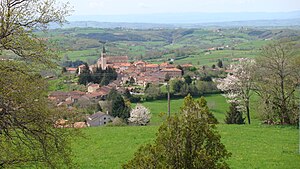
Arcinges
Commune in Auvergne-Rhône-Alpes, France
Distance: Approx. 5282 meters
Latitude and longitude: 46.1383,4.2817
Arcinges (French pronunciation: [aʁsɛ̃ʒ]) is a commune in the Loire department in central France.

Le Cergne
Commune in Auvergne-Rhône-Alpes, France
Distance: Approx. 2712 meters
Latitude and longitude: 46.1219,4.3069
Le Cergne (French pronunciation: [lə sɛʁɲ]) is a commune in the Loire department in central France.
Cuinzier
Commune in Auvergne-Rhône-Alpes, France
Distance: Approx. 5250 meters
Latitude and longitude: 46.1283,4.2675
Cuinzier (French pronunciation: [kɥɛ̃zje]) is a commune in the Loire department in central France.
La Gresle
Commune in Auvergne-Rhône-Alpes, France
Distance: Approx. 3958 meters
Latitude and longitude: 46.0764,4.2831
La Gresle (French pronunciation: [la gʁɛl]) is a commune in the Loire department in central France.
Sevelinges
Commune in Auvergne-Rhône-Alpes, France
Distance: Approx. 1931 meters
Latitude and longitude: 46.0992,4.2967
Sevelinges (French pronunciation: [səvlɛ̃ʒ]) is a commune in the Loire department in central France.

Pont-Trambouze
Part of Cours in Auvergne-Rhône-Alpes, France
Distance: Approx. 2987 meters
Latitude and longitude: 46.0733,4.3156
Pont-Trambouze (French pronunciation: [pɔ̃ tʁɑ̃buz]) is a former commune in the Rhône department in eastern France.
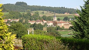
Cours-la-Ville
Part of Cours in Auvergne-Rhône-Alpes, France
Distance: Approx. 60 meters
Latitude and longitude: 46.1003,4.3214
Cours-la-Ville (French pronunciation: [kuʁ la vil] ) is a former commune in the Rhône department in eastern France. It is the seat of the commune of Cours.
Mardore
Part of Thizy-les-Bourgs in Auvergne-Rhône-Alpes, France
Distance: Approx. 3548 meters
Latitude and longitude: 46.07,4.338
Mardore (French pronunciation: [maʁdɔʁ]) is a former commune in the Rhône department in Rhône-Alpes region in eastern France. On 1 January 2013, Mardore and four other communes merged becoming one commune called Thizy-les-Bourgs.

Thel, Rhône
Part of Cours in Auvergne-Rhône-Alpes, France
Distance: Approx. 4708 meters
Latitude and longitude: 46.1164,4.3778
Thel (French pronunciation: [tɛl]) is a former commune in the Rhône department in eastern France.

Saint-Vincent-de-Reins
Commune in Auvergne-Rhône-Alpes, France
Distance: Approx. 5820 meters
Latitude and longitude: 46.0753,4.3883
Saint-Vincent-de-Reins (French pronunciation: [sɛ̃ vɛ̃sɑ̃ də ʁɛ̃s]) is a commune in the Rhône department in eastern France.
Canton of Belmont-de-la-Loire
Former canton in Auvergne-Rhône-Alpes, France
Distance: Approx. 4436 meters
Latitude and longitude: 46.1396,4.3189
The canton of Belmont-de-la-Loire is a French former administrative division located in the department of Loire and the Rhone-Alpes region. It was disbanded following the French canton reorganisation which came into effect in March 2015. It consisted of 9 communes, which joined the canton of Charlieu in 2015.
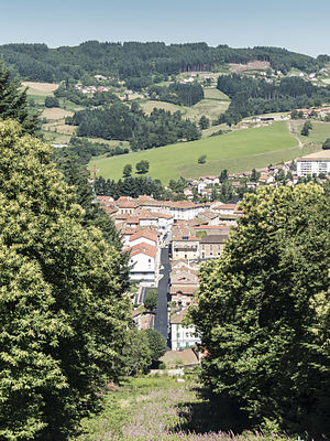
Cours, Rhône
Commune in Auvergne-Rhône-Alpes, France
Distance: Approx. 60 meters
Latitude and longitude: 46.1003,4.3214
Cours (French pronunciation: [kuʁ] ) is a commune in the Rhône department and Auvergne-Rhône-Alpes region in eastern France. Cours-la-Ville is the municipal seat.
Weather in this IP's area
overcast clouds
8 Celsius
4 Celsius
8 Celsius
8 Celsius
1016 hPa
67 %
1016 hPa
954 hPa
10000 meters
6.1 m/s
17.28 m/s
167 degree
100 %