Country:
Region:
City:
Latitude and Longitude:
Time Zone:
Postal Code:
IP information under different IP Channel
ip-api
Country
Region
City
ASN
Time Zone
ISP
Blacklist
Proxy
Latitude
Longitude
Postal
Route
Luminati
Country
ASN
Time Zone
Asia/Seoul
ISP
National Infomation Society Agency
Latitude
Longitude
Postal
IPinfo
Country
Region
City
ASN
Time Zone
ISP
Blacklist
Proxy
Latitude
Longitude
Postal
Route
db-ip
Country
Region
City
ASN
Time Zone
ISP
Blacklist
Proxy
Latitude
Longitude
Postal
Route
ipdata
Country
Region
City
ASN
Time Zone
ISP
Blacklist
Proxy
Latitude
Longitude
Postal
Route
Popular places and events near this IP address
Yulha-dong
Distance: Approx. 3830 meters
Latitude and longitude: 35.86497,128.69354
Yulha-dong is a dong in Dong District, Daegu, South Korea. Its name literally means "beneath the chestnut tree." It lies just north of the Geumho River. Yulha-dong is the legal dong; its boundaries coincide with the administrative entity Ansim 1-dong.
Gomo station
Distance: Approx. 5334 meters
Latitude and longitude: 35.85888889,128.67861111
Gomo station is a railway station on the Gyeongbu Line in South Korea.

Gacheon station
Train station in South Korea
Distance: Approx. 4639 meters
Latitude and longitude: 35.85361111,128.69305556
Gacheon station is a freight-only railway station on the Gyeongbu Line.

Yonggye station
Station of the Daegu Metro
Distance: Approx. 4439 meters
Latitude and longitude: 35.87638889,128.68138889
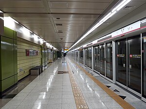
Yonggye Station is a station of Daegu Subway Line 1 at Dong-gu in Daegu, South Korea.

Yulha station
Station of the Daegu Metro
Distance: Approx. 3651 meters
Latitude and longitude: 35.86972222,128.69277778
Yulha Station is a station of Daegu Subway Line 1 in Yulha-dong, Dong District, Daegu, South Korea. Two exits were established in 2010. Beomanno Road is to the south.

Singi station
Station of the Daegu Metro
Distance: Approx. 3049 meters
Latitude and longitude: 35.86666667,128.7025
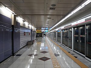
Singi Station is a station on Daegu Subway Line 1 in Singi-dong, Dong District, Daegu, South Korea.

Banyawol station
Station of the Daegu Metro
Distance: Approx. 2357 meters
Latitude and longitude: 35.86611111,128.71361111
Banyawol Station is a station of the Daegu Subway Line 1 in Seoho-dong and Dongho-dong, Dong District, Daegu, South Korea. It is connected with the last stop of the downtown bus. Its use frequently is reportedly low.

Gaksan station
Station of the Daegu Metro
Distance: Approx. 1740 meters
Latitude and longitude: 35.86777778,128.72388889
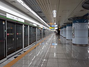
Gaksan Station is an commuter train station on the Daegu Subway Line 1 in Sinseo-dong, Dong District, Daegu, South Korea. There are many apartments surrounding the station. You can enter the Dongho residential area in order to get to Gumgang-dong.

Sawol station
Station of the Daegu Metro
Distance: Approx. 5229 meters
Latitude and longitude: 35.83694444,128.71638889
Sawol Station is a station of Daegu Metro Line 2 in Sawol-dong and Sinmae-dong, Suseong District, Daegu, South Korea.

Sinmae station
Station of the Daegu Metro
Distance: Approx. 5168 meters
Latitude and longitude: 35.84083333,128.705
Sinmae Station is a station of Daegu Metro Line 2 in Sinmae-dong and Maeho-dong, Suseong District, Daegu, South Korea.
Daepyeong-dong
Neighborhood in Sejong City, South Korea
Distance: Approx. 4520 meters
Latitude and longitude: 35.842,128.73
Daepyeong-dong is neighborhood of Sejong City, South Korea.

Korea Brain Research Institute
Research complex in Daegu, South Korea
Distance: Approx. 20 meters
Latitude and longitude: 35.882559,128.730216
The Korea Brain Research Institute (KBRI) is a research institute in South Korea. Core facilities include the Korea Brain Bank and lab animal centers. The KBRI is an affiliated institute of the Daegu Gyeongbuk Institute of Science and Technology.
Weather in this IP's area
scattered clouds
10 Celsius
10 Celsius
10 Celsius
10 Celsius
1019 hPa
100 %
1019 hPa
1008 hPa
9000 meters
0.51 m/s
100 degree
40 %
07:02:23
17:17:34