Country:
 France
Region:
City:
Latitude and Longitude:
Time Zone:
Postal Code:
IP information under different IP Channel
ip-api
Country
Region
City
ASN
Time Zone
ISP
Blacklist
Proxy
Latitude
Longitude
Postal
Route
IPinfo
Country
Region
City
ASN
Time Zone
ISP
Blacklist
Proxy
Latitude
Longitude
Postal
Route
MaxMind
Country
Region
City
ASN
Time Zone
ISP
Blacklist
Proxy
Latitude
Longitude
Postal
Route
Luminati
Country
FRRegion
ara
City
chuzelles
ASN
Time Zone
Europe/Paris
ISP
Alsatis SAS
Latitude
Longitude
Postal
db-ip
Country
Region
City
ASN
Time Zone
ISP
Blacklist
Proxy
Latitude
Longitude
Postal
Route
ipdata
Country
Region
City
ASN
Time Zone
ISP
Blacklist
Proxy
Latitude
Longitude
Postal
Route
Popular places and events near this IP address

Serpaize
Commune in Auvergne-Rhône-Alpes, France
Distance: Approx. 4168 meters
Latitude and longitude: 45.5597,4.9186
Serpaize (French pronunciation: [sɛʁpɛz]) is a commune in the Isère department in southeastern France.
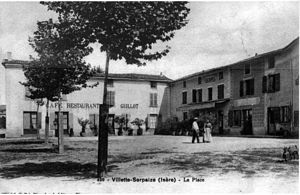
Villette-de-Vienne
Commune in Auvergne-Rhône-Alpes, France
Distance: Approx. 2610 meters
Latitude and longitude: 45.5894,4.915
Villette-de-Vienne (French pronunciation: [vilɛt də vjɛn], literally Villette of Vienne) is a commune in the Isère department in southeastern France.

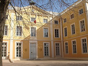
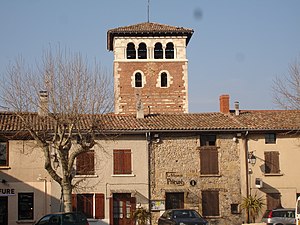
Chuzelles
Commune in Auvergne-Rhône-Alpes, France
Distance: Approx. 269 meters
Latitude and longitude: 45.5864,4.8783
Chuzelles (French pronunciation: [ʃyzɛl]) is a commune in the Isère department in southeastern France.

Seyssuel
Commune in Auvergne-Rhône-Alpes, France
Distance: Approx. 4009 meters
Latitude and longitude: 45.5608,4.8461
Seyssuel (French pronunciation: [sɛsɥɛl]) is a commune in the Isère department in southeastern France.

Luzinay
Commune in Auvergne-Rhône-Alpes, France
Distance: Approx. 5696 meters
Latitude and longitude: 45.5897,4.9547
Luzinay (French pronunciation: [lyzinɛ]) is a commune in the Isère department in southeastern France.
Saint-Symphorien-d'Ozon
Commune in Auvergne-Rhône-Alpes, France
Distance: Approx. 5556 meters
Latitude and longitude: 45.6336,4.8569
Saint-Symphorien-d'Ozon (French pronunciation: [sɛ̃ sɛ̃fɔʁjɛ̃ dozɔ̃]) is a commune in the Rhône department, within the urban area of Lyon, in eastern France.

Communay
Commune in Auvergne-Rhône-Alpes, France
Distance: Approx. 4139 meters
Latitude and longitude: 45.6053,4.8356
Communay (French pronunciation: [kɔmynɛ]) is a commune in the Rhône department in eastern France. It is around 15 km south of the centre of Lyon.

Saint-Romain-en-Gal
Commune in Auvergne-Rhône-Alpes, France
Distance: Approx. 6183 meters
Latitude and longitude: 45.533,4.862
Saint-Romain-en-Gal (French pronunciation: [sɛ̃ ʁɔmɛ̃ ɑ̃ ɡal]; Arpitan: Sant-Reman-en-Gâl) is a commune in the Rhône department in eastern France. It is located 35 kilometres (22 mi) south of Lyon, on the west bank of the river Rhône. Vienne, Isère is on the opposite bank of the river and the two settlements are linked by a footbridge and a road bridge.

Simandres
Commune in Auvergne-Rhône-Alpes, France
Distance: Approx. 3811 meters
Latitude and longitude: 45.6206,4.8739
Simandres (French pronunciation: [simɑ̃dʁ]) is a commune in the Rhône department in eastern France.
Ternay, Rhône
Commune in Auvergne-Rhône-Alpes, France
Distance: Approx. 5769 meters
Latitude and longitude: 45.6031,4.8114
Ternay (French pronunciation: [tɛʁnɛ]) is a commune in the Rhône department in eastern France.

Marennes, Rhône
Commune in Auvergne-Rhône-Alpes, France
Distance: Approx. 4249 meters
Latitude and longitude: 45.619,4.911
Marennes (French pronunciation: [maʁɛn]) is a commune in the Rhône department in eastern France.

Canton of Saint-Symphorien-d'Ozon
Canton in Auvergne-Rhône-Alpes, France
Distance: Approx. 5076 meters
Latitude and longitude: 45.6305,4.9003
The Canton of Saint-Symphorien-d'Ozon is a French administrative division, located in the Rhône department. The canton was established in 1790. Its boundaries are modified by decree of 27 February 2014 which came into force in March 2015.
Weather in this IP's area
mist
14 Celsius
14 Celsius
13 Celsius
15 Celsius
1012 hPa
94 %
1012 hPa
984 hPa
5000 meters
75 %
08:00:59
18:49:48