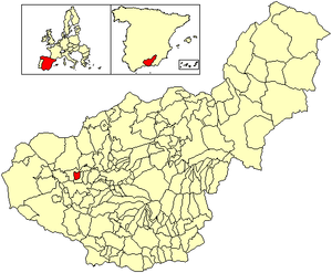
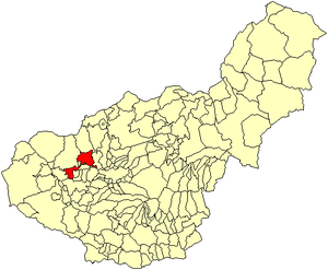
Country:
Region:
City:
Latitude and Longitude:
Time Zone:
Postal Code:
IP information under different IP Channel
ip-api
Country
Region
City
ASN
Time Zone
ISP
Blacklist
Proxy
Latitude
Longitude
Postal
Route
Luminati
Country
Region
an
City
granada
ASN
Time Zone
Europe/Madrid
ISP
Free Technologies Excom S.L.
Latitude
Longitude
Postal
IPinfo
Country
Region
City
ASN
Time Zone
ISP
Blacklist
Proxy
Latitude
Longitude
Postal
Route
db-ip
Country
Region
City
ASN
Time Zone
ISP
Blacklist
Proxy
Latitude
Longitude
Postal
Route
ipdata
Country
Region
City
ASN
Time Zone
ISP
Blacklist
Proxy
Latitude
Longitude
Postal
Route
Popular places and events near this IP address

Federico García Lorca Granada Airport
Airport in Granada
Distance: Approx. 7938 meters
Latitude and longitude: 37.18861111,-3.77722222
Federico García Lorca Granada-Jaén Airport (IATA: GRX, ICAO: LEGR), also known as Granada International Airport, is the airport serving the province and city of Granada, in Andalusia, Spain, although it has Jaén in its name. The airport is located near to Chauchina and Santa Fe, about 9.4 miles (15 km) west of Granada and 62.5 miles (100 km) south of Jaén. Construction of the airport began in 1970 and it opened as Aeropuerto de Granada in 1972.

Fuente Vaqueros
Municipality in Andalusia, Spain
Distance: Approx. 5657 meters
Latitude and longitude: 37.21666667,-3.78305556
Fuente Vaqueros (Spanish pronunciation: [ˈfwente βaˈkeɾos]) is a farming village in the province of Granada, Spain, lying 17 km west of the city of Granada. Its population was recorded in 2005 as 4,590. The principal crops are asparagus, olives and apples.

Láchar
Municipality in Andalusia, Spain
Distance: Approx. 4417 meters
Latitude and longitude: 37.2,-3.83333333
Láchar is a municipality in the province of Granada, in Spain. The village of Láchar lies in Granada's floodplain (or "Vega de Granada", in Spanish) amid poplar forests, arable farmland and olive groves. The surrounding countryside, and particularly the pine forest known as Los Pinares, lends itself to outdoor sports and recreational activities, and there is also a long tradition of partridge shooting.

Chauchina
Municipality in Andalusia, Spain
Distance: Approx. 7850 meters
Latitude and longitude: 37.2,-3.76666667
Chauchina is a municipality in the province of Granada, in Spain.

Cijuela
Place in Granada, Spain
Distance: Approx. 5643 meters
Latitude and longitude: 37.2,-3.8
Cijuela is a municipality located in the province of Granada, Spain. According to the 2005 census (INE), the city has a population of 2009 inhabitants.

Pinos Puente
City in Andalusia, Spain
Distance: Approx. 8081 meters
Latitude and longitude: 37.25,-3.75
Pinos Puente is a municipality located in the province of Granada, Spain. According to the 2005 census (INE), the city has a population of 13319 inhabitants. The Cubillas River runs by the town.

Valderrubio
Municipality in Granada, Spain
Distance: Approx. 1566 meters
Latitude and longitude: 37.23444444,-3.82361111
Valderrubio is a municipality in the province of Granada, Spain. As of 2012, it had a population of 2,133 inhabitants. The poet Federico García Lorca lived in the village as a young child, between 1905 and 1909.

Decauville railway at Láchar
Distance: Approx. 4464 meters
Latitude and longitude: 37.19947,-3.834367
The Decauville railway at Láchar was an 8.3 km (5.2 mi) long narrow-gauge railway with a gauge of 600 mm (1 ft 11+5⁄8 in) from Íllora-Láchar railway station via the Eiffel Bridge to the sugar mill in Láchar.
Weather in this IP's area
few clouds
15 Celsius
15 Celsius
15 Celsius
17 Celsius
1017 hPa
82 %
1017 hPa
952 hPa
10000 meters
20 %
07:54:51
18:05:25