Country:
 Spain
SpainRegion:
City:
Latitude and Longitude:
Time Zone:
Postal Code:
IP information under different IP Channel
ip-api
Country
Region
City
ASN
Time Zone
ISP
Blacklist
Proxy
Latitude
Longitude
Postal
Route
IPinfo
Country
Region
City
ASN
Time Zone
ISP
Blacklist
Proxy
Latitude
Longitude
Postal
Route
MaxMind
Country
Region
City
ASN
Time Zone
ISP
Blacklist
Proxy
Latitude
Longitude
Postal
Route
Luminati
Country
ESRegion
ex
City
alconchel
ASN
Time Zone
Europe/Madrid
ISP
Total WiFi SL
Latitude
Longitude
Postal
db-ip
Country
Region
City
ASN
Time Zone
ISP
Blacklist
Proxy
Latitude
Longitude
Postal
Route
ipdata
Country
Region
City
ASN
Time Zone
ISP
Blacklist
Proxy
Latitude
Longitude
Postal
Route
Popular places and events near this IP address
Táliga
Municipality in Extremadura, Spain
Distance: Approx. 6473 meters
Latitude and longitude: 38.51666667,-7
Táliga (Spanish: [ˈtaliɣa]) or Talega (Portuguese: [tɐˈlɛɣɐ]) is a Spanish town and municipality located near the border with Portugal, in the province of Badajoz, in the Spanish autonomous community of Extremadura. Portugal considers Táliga, as well as neighbouring Olivenza, a de jure part of the Portuguese concelho of Olivenza, occupied by Spain since 1801. (See Olivenza#Claims of sovereignty).

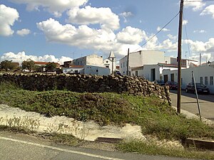
Alconchel
Place in Extremadura, Spain
Distance: Approx. 754 meters
Latitude and longitude: 38.51666667,-7.06666667
Alconchel is a Spanish municipality in the province of Badajoz, Extremadura. It has a population of 1,970 (2007) and an area of 294.9 km².
Weather in this IP's area
overcast clouds
20 Celsius
20 Celsius
20 Celsius
20 Celsius
1011 hPa
83 %
1011 hPa
971 hPa
10000 meters
2.55 m/s
6.6 m/s
222 degree
100 %
08:28:49
20:03:33