Country:
 Netherlands
Region:
City:
Latitude and Longitude:
Time Zone:
Postal Code:
IP information under different IP Channel
ip-api
Country
Region
City
ASN
Time Zone
ISP
Blacklist
Proxy
Latitude
Longitude
Postal
Route
IPinfo
Country
Region
City
ASN
Time Zone
ISP
Blacklist
Proxy
Latitude
Longitude
Postal
Route
MaxMind
Country
Region
City
ASN
Time Zone
ISP
Blacklist
Proxy
Latitude
Longitude
Postal
Route
Luminati
Country
NLRegion
fl
City
tollebeek
ASN
Time Zone
Europe/Amsterdam
ISP
Qonnected B.V.
Latitude
Longitude
Postal
db-ip
Country
Region
City
ASN
Time Zone
ISP
Blacklist
Proxy
Latitude
Longitude
Postal
Route
ipdata
Country
Region
City
ASN
Time Zone
ISP
Blacklist
Proxy
Latitude
Longitude
Postal
Route
Popular places and events near this IP address

Wijchen
City and Municipality in Gelderland, Netherlands
Distance: Approx. 4653 meters
Latitude and longitude: 51.8,5.73333333
Wijchen (Dutch pronunciation: [ˈʋixə(n)] ) is a municipality and a town in the province of Gelderland, in the eastern part of the Netherlands.
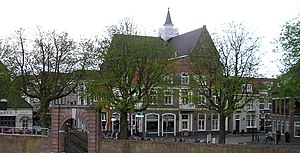
Grave, Netherlands
City and former municipality in North Brabant, Netherlands
Distance: Approx. 943 meters
Latitude and longitude: 51.76666667,5.73333333
Grave (Dutch: [ˈɣraːvə] ; formerly De Graaf) is a city and former municipality in the Dutch province of North Brabant. The former municipality had a population of 12,486 in 2021. Grave is a member of the Dutch Association of Fortified Cities.
Overasselt
Village in Gelderland, Netherlands
Distance: Approx. 3745 meters
Latitude and longitude: 51.75972222,5.7875
Overasselt is a village in the Dutch province of Gelderland. It is located in the municipality of Heumen.

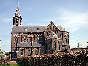
Escharen
Dutch village
Distance: Approx. 1752 meters
Latitude and longitude: 51.74416667,5.74472222
Escharen is a village in the Dutch province of North Brabant. It is located in the former municipality of Grave. Since 2022 it has been part of the new municipality of Land van Cuijk.
Gassel
Village in North Brabant, Netherlands
Distance: Approx. 3809 meters
Latitude and longitude: 51.74027778,5.78027778
Gassel is a village in the Dutch province of North Brabant. It is located in the former municipality of Grave. Since 2022 it has been part of the new municipality of Land van Cuijk.

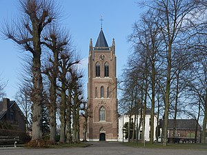
Reek, Netherlands
Village in North Brabant, Netherlands
Distance: Approx. 3767 meters
Latitude and longitude: 51.74472222,5.68305556
Reek is a village in the Dutch province of North Brabant. It is located in the former municipality of Landerd, about 3 km east of Schaijk.

Velp, North Brabant
Village in North Brabant, Netherlands
Distance: Approx. 1600 meters
Latitude and longitude: 51.74777778,5.71722222
Velp is a village in the Dutch province of North Brabant. It is located in the former municipality of Grave, about 2 km southwest of the city. Until 1794, it was part of the Land van Ravenstein, a Catholic enclave of Palatinate-Neuburg within the Dutch Republic.

Raam (river)
River in Netherlands
Distance: Approx. 1486 meters
Latitude and longitude: 51.7715,5.7313
The Raam is a small river in the eastern part of North Brabant, Netherlands. It flows into the Meuse (Dutch: Maas) at the old town Grave.

John S. Thompsonbrug
Bridge
Distance: Approx. 1237 meters
Latitude and longitude: 51.76916667,5.73611111
The John S. Thompsonbrug is a bridge over the Maas River between Grave and Nederasselt in the Netherlands.

Siege of Grave (1586)
1586 siege during the Eighty Years' War
Distance: Approx. 369 meters
Latitude and longitude: 51.7592,5.7383
The siege of Grave, also known as the capture of Grave of 1586, took place from mid-February to 7 June 1586 at Grave, Duchy of Brabant, Low Countries (present-day the Netherlands), between the Spanish army led by Governor-General Don Alexander Farnese, Prince of Parma, and the Dutch-States and English forces under Baron Peter van Hemart, Governor of Grave, during the Eighty Years' War and the Anglo-Spanish War (1585–1604).

Nederasselt
Village in Gelderland, Netherlands
Distance: Approx. 1787 meters
Latitude and longitude: 51.77222222,5.74583333
Nederasselt is a village in the municipality of Heumen in the province of Gelderland, the Netherlands.

Siege of Grave (1602)
Part of the Eighty Years' War and the Anglo–Spanish War
Distance: Approx. 369 meters
Latitude and longitude: 51.7592,5.7383
The siege of Grave was a siege that took place between 18 July and 20 September 1602, as part of the Eighty Years' War and the Anglo–Spanish War. The Spanish-held city of Grave was besieged by a Dutch and English army led by Maurice of Orange and Francis Vere respectively. After a siege of nearly two months the city surrendered when a Spanish relief army under Francisco de Mendoza was defeated just outside the city by the besiegers.
Weather in this IP's area
overcast clouds
16 Celsius
16 Celsius
15 Celsius
17 Celsius
1015 hPa
79 %
1015 hPa
1014 hPa
10000 meters
6.17 m/s
200 degree
100 %
08:08:37
18:35:00