Country:
 Ghana
GhanaRegion:
City:
Latitude and Longitude:
Time Zone:
Postal Code:
IP information under different IP Channel
ip-api
Country
Region
City
ASN
Time Zone
ISP
Blacklist
Proxy
Latitude
Longitude
Postal
Route
Luminati
Country
GHASN
Time Zone
Africa/Accra
ISP
Airtel-Ghana
Latitude
Longitude
Postal
IPinfo
Country
Region
City
ASN
Time Zone
ISP
Blacklist
Proxy
Latitude
Longitude
Postal
Route
db-ip
Country
Region
City
ASN
Time Zone
ISP
Blacklist
Proxy
Latitude
Longitude
Postal
Route
ipdata
Country
Region
City
ASN
Time Zone
ISP
Blacklist
Proxy
Latitude
Longitude
Postal
Route
Popular places and events near this IP address
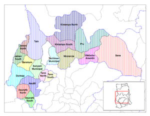
Atebubu
Place in Bono East Region, Ghana
Distance: Approx. 658 meters
Latitude and longitude: 7.75,-0.98333333
Atebubu is a town and the capital of Atebubu-Amantin District in the Bono East Region of Ghana. According to the 2010 Population Census in Ghana, the town has a population of 105,938. As at 2023, the Municipal chief executive of the town is Edward Owusu.
Atebubu District
Former District in Brong-Ahafo, Ghana
Distance: Approx. 658 meters
Latitude and longitude: 7.75,-0.98333333
Atebubu District is a former district that was located in Brong-Ahafo Region (now currently in Bono East Region), Ghana. Originally created as an ordinary district assembly on 10 March 1989. However on 12 November 2003 (effectively 18 February 2004), it was split off into two new districts: Atebubu-Amantin District (which it was elevated to municipal district assembly status on 15 March 2018; capital: Atebubu) and Pru District (capital: Yeji).

Bono East Region
Region of Ghana
Distance: Approx. 7651 meters
Latitude and longitude: 7.75,-1.05
The Bono East region of Ghana is a new region carved out of the Brong Ahafo region. The capital of the new region is Techiman. This creation of this new region was in fulfillment of a promise made by the New Patriotic Party prior to the 2016 Ghana general election.
Weather in this IP's area
scattered clouds
25 Celsius
25 Celsius
25 Celsius
25 Celsius
1009 hPa
70 %
1009 hPa
993 hPa
10000 meters
1.68 m/s
2.28 m/s
172 degree
41 %
05:56:00
17:41:47