37.61.184.1 - IP Lookup: Free IP Address Lookup, Postal Code Lookup, IP Location Lookup, IP ASN, Public IP
Country:
Region:
City:
Location:
Time Zone:
Postal Code:
ISP:
ASN:
language:
User-Agent:
Proxy IP:
Blacklist:
IP information under different IP Channel
ip-api
Country
Region
City
ASN
Time Zone
ISP
Blacklist
Proxy
Latitude
Longitude
Postal
Route
db-ip
Country
Region
City
ASN
Time Zone
ISP
Blacklist
Proxy
Latitude
Longitude
Postal
Route
IPinfo
Country
Region
City
ASN
Time Zone
ISP
Blacklist
Proxy
Latitude
Longitude
Postal
Route
IP2Location
37.61.184.1Country
Region
tirol
City
telfs
Time Zone
Europe/Zurich
ISP
Language
User-Agent
Latitude
Longitude
Postal
ipdata
Country
Region
City
ASN
Time Zone
ISP
Blacklist
Proxy
Latitude
Longitude
Postal
Route
Popular places and events near this IP address

Flaurling
Municipality in Tyrol, Austria
Distance: Approx. 4342 meters
Latitude and longitude: 47.29222222,11.12305556
Flaurling is a municipality in the district Innsbruck country in Tyrol (Austria). It lies in the Inn valley between Innsbruck and Telfs south of the Inn River. The municipality consists of the areas: Flaurling village, Flaurling station with a commercial district and Flaurlingberg at the western foothills of a low mountain range terrace.

Oberhofen im Inntal
Municipality in Tyrol, Austria
Distance: Approx. 2225 meters
Latitude and longitude: 47.30305556,11.09583333
Oberhofen im Inntal is a municipality in the western district of Innsbruck-Land in the Austrian state of Tyrol located 21 km west of Innsbruck and 2.6 km east of Telfs. Once a part of Pfaffenhofen it became its own municipality in 1786.

Pfaffenhofen, Tyrol
Municipality in Tyrol, Austria
Distance: Approx. 1855 meters
Latitude and longitude: 47.28333333,11.06666667
Pfaffenhofen (German pronunciation: [pfafn̩ˈhoːfn̩] ) is a municipality in the district of Innsbruck-Land in the Austrian state of Tyrol located 22 km west of Innsbruck and 1.7 km south of Telfs. The village was mentioned in documents in 1197 for the first time.

Wildermieming
Municipality in Tyrol, Austria
Distance: Approx. 4989 meters
Latitude and longitude: 47.31833333,11.00638889
Wildermieming is a municipality in the district of Innsbruck-Land in the Austrian state of Tyrol located 40 km west of Innsbruck and 4 km west of Telfs. The village was separated from Mieming which belongs to Imst (district) in 1833 and was incorporated into Innsbruck-Land in 1925.
Telfs
Municipality in Tyrol, Austria
Distance: Approx. 1855 meters
Latitude and longitude: 47.28333333,11.06666667
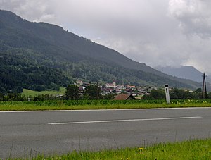
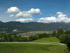
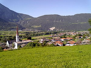
Telfs is a market town in the district of Innsbruck-Land in the Austrian state of Tyrol, 27 kilometres (17 miles) west of Innsbruck. It is the third largest municipality in Tyrol. Telfs received its status in 1908 and maintains its own district court.

Rietz
Municipality in Tyrol, Austria
Distance: Approx. 3216 meters
Latitude and longitude: 47.28472222,11.03055556
For the musician, see Julius Rietz. Rietz (German pronunciation: [ʁiˈə̯t͡s] ) is a municipality in the Imst district, Austria, and is located 23 km east of Imst and 4 km west of Telfs on the southern shore of the Inn River. It is a peculiarity that the village has no sun during winter time because of the height of the Stubai Alps.

Mieming
Municipality in Tyrol, Austria
Distance: Approx. 6294 meters
Latitude and longitude: 47.3,10.98333333
Mieming (German pronunciation: [ˈmiə̯mɪŋ] ) is a municipality in the Imst district and is located 19 km east of Imst and 6 km west of Telfs. Main sources of income are agriculture and Summer tourism.
Tiroler Volksschauspiele
Theatre in Austria
Distance: Approx. 906 meters
Latitude and longitude: 47.307267,11.0721
Tiroler Volksschauspiele is a theatre in Austria.

Hohe Munde
Distance: Approx. 5269 meters
Latitude and longitude: 47.34722,11.071528
The Hohe Munde is a 2,662-metre-high (8,734 ft) mountain at the eastern end of the Mieming Chain in the Austrian state of Tyrol. It has two peaks: the west top (2,662 m) and the east top or Mundekopf (2,592 m).
Wildmoos (Telfs)
Village of Telfs in Tyrol, Austria
Distance: Approx. 5657 meters
Latitude and longitude: 47.32722222,11.13
Wildmoos is an area in the central Inn valley in North Tyrol and a village in the municipality of Telfs in the district of Innsbruck Land.
Rietzer Grießkogel
Mountain in Tyrol, Austria
Distance: Approx. 6061 meters
Latitude and longitude: 47.24583,11.05861
The Rietzer Grießkogel (also: Grieskogel) is a mountain, 2,884 m (AA), and the highest peak in the Northern Sellrain Mountains, part of the Stubai Alps in the Austrian state of Tyrol. The summit is easily climbed on path no. 153.

Telfs mosque
Distance: Approx. 1187 meters
Latitude and longitude: 47.30597222,11.07972222
The Eyüp-Sultan-Mosque is a mosque in the town of Telfs, Tyrol, Austria. It was inaugurated in the year 1998, in response to the growing Muslim community in the Tyrolean region. It was funded by donations from the local Muslim community and support from international Islamic organizations.
Weather in this IP's area
light rain
6 Celsius
5 Celsius
6 Celsius
8 Celsius
1000 hPa
97 %
1000 hPa
831 hPa
3110 meters
1.84 m/s
2.55 m/s
79 degree
99 %

