216.201.139.155 - IP Lookup: Free IP Address Lookup, Postal Code Lookup, IP Location Lookup, IP ASN, Public IP
Country:
Region:
City:
Location:
Time Zone:
Postal Code:
ISP:
ASN:
language:
User-Agent:
Proxy IP:
Blacklist:
IP information under different IP Channel
ip-api
Country
Region
City
ASN
Time Zone
ISP
Blacklist
Proxy
Latitude
Longitude
Postal
Route
db-ip
Country
Region
City
ASN
Time Zone
ISP
Blacklist
Proxy
Latitude
Longitude
Postal
Route
IPinfo
Country
Region
City
ASN
Time Zone
ISP
Blacklist
Proxy
Latitude
Longitude
Postal
Route
IP2Location
216.201.139.155Country
Region
oklahoma
City
skiatook
Time Zone
America/Chicago
ISP
Language
User-Agent
Latitude
Longitude
Postal
ipdata
Country
Region
City
ASN
Time Zone
ISP
Blacklist
Proxy
Latitude
Longitude
Postal
Route
Popular places and events near this IP address

Sperry, Oklahoma
Town in Oklahoma, United States
Distance: Approx. 7382 meters
Latitude and longitude: 36.29527778,-95.99
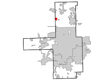
Sperry is a town in Tulsa County, Oklahoma, United States. The population was 1,115 at the time of the 2020 census. It is primarily a bedroom community, since approximately 85 percent of the employed residents commute to work in Tulsa and other nearby towns.
Battle of Chustenahlah
Battle of the American Civil War
Distance: Approx. 8834 meters
Latitude and longitude: 36.3878,-96.0752
The Battle of Chustenahlah was fought in Osage County, Oklahoma, (then Indian Territory) on December 26, 1861, during the American Civil War. A band of 9,000 pro-Union Native Americans was forced to flee to Kansas in bitter cold and snow in what became known as the Trail of Blood on Ice.

Battle of Chusto-Talasah
Battle of the American Civil War
Distance: Approx. 9254 meters
Latitude and longitude: 36.2823,-95.9502
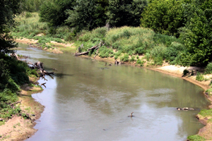
The Battle of Chusto-Talasah, also known as Bird Creek, Caving Banks, and High Shoal, was fought December 9, 1861, in what is now Tulsa County, Oklahoma (then Indian Territory) during the American Civil War. It was the second of three battles in the Trail of Blood on Ice campaign for the control of Indian Territory during the American Civil War. A series of battles were fought in December in bad weather between the Confederate Cherokee and Choctaw Indians and the Union Creek and Seminole Indians (led by the Muscogee Creek chief Opothleyahola) who supported the Federal government.

Skiatook Lake
Distance: Approx. 9891 meters
Latitude and longitude: 36.35138889,-96.09194444
Skiatook Lake is a federally-owned and operated reservoir located in Osage County, Oklahoma, 4 miles (6.4 km) west of the town of Skiatook, 11 miles (18 km) east of Hominy, Oklahoma and about 18 miles (29 km) from Tulsa. The Skiatook Dam is located on Hominy Creek, 14 miles (23 km) upstream of the confluence of Hominy and Bird Creeks. The project purposes include flood control, water quality, water supply, recreation, and fish and wildlife management.
Weather in this IP's area
clear sky
7 Celsius
6 Celsius
6 Celsius
8 Celsius
1025 hPa
37 %
1025 hPa
997 hPa
10000 meters
2.06 m/s