Country:
Region:
City:
Latitude and Longitude:
Time Zone:
Postal Code:
IP information under different IP Channel
ip-api
Country
Region
City
ASN
Time Zone
ISP
Blacklist
Proxy
Latitude
Longitude
Postal
Route
Luminati
Country
ASN
Time Zone
Europe/Zurich
ISP
VTX Services SA
Latitude
Longitude
Postal
IPinfo
Country
Region
City
ASN
Time Zone
ISP
Blacklist
Proxy
Latitude
Longitude
Postal
Route
db-ip
Country
Region
City
ASN
Time Zone
ISP
Blacklist
Proxy
Latitude
Longitude
Postal
Route
ipdata
Country
Region
City
ASN
Time Zone
ISP
Blacklist
Proxy
Latitude
Longitude
Postal
Route
Popular places and events near this IP address
Romont, Bern
Municipality in Bern, Switzerland
Distance: Approx. 1239 meters
Latitude and longitude: 47.18333333,7.35
Romont (French pronunciation: [ʁɔmɔ̃] ) is a municipality in the Jura bernois administrative district in the canton of Bern in Switzerland. It is located in the French-speaking Bernese Jura (Jura Bernois).
Grenchen
Municipality in Solothurn, Switzerland
Distance: Approx. 2500 meters
Latitude and longitude: 47.19055556,7.39638889
Grenchen (French: Granges) is a municipality in the district of Lebern in the canton of Solothurn in Switzerland. It is located at the foot of the Jura mountains between Solothurn and Biel/Bienne, approximately 25 km (16 mi) north of Bern. With over 16,000 inhabitants, it is one of the larger towns of the canton of Solothurn.
Pieterlen
Municipality in Bern, Switzerland
Distance: Approx. 2491 meters
Latitude and longitude: 47.18333333,7.33333333
Pieterlen (French: Perles) is a municipality in the Biel/Bienne administrative district in the canton of Bern in Switzerland.
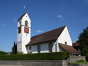
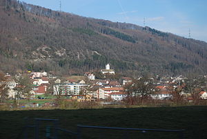
Lengnau, Bern
Municipality in Bern, Switzerland
Distance: Approx. 208 meters
Latitude and longitude: 47.18333333,7.36666667
Lengnau is a municipality in the Biel/Bienne administrative district in the canton of Bern in Switzerland.
Meinisberg
Municipality in Bern, Switzerland
Distance: Approx. 2054 meters
Latitude and longitude: 47.16666667,7.35
Meinisberg is a municipality in the Biel/Bienne administrative district in the canton of Bern in Switzerland.

Rüti bei Büren
Municipality in Bern, Switzerland
Distance: Approx. 4343 meters
Latitude and longitude: 47.15,7.4
Rüti bei Büren is a municipality in the Seeland administrative district in the canton of Bern in Switzerland. It is also a reformed church parish.

Lebern District
Distance: Approx. 1316 meters
Latitude and longitude: 47.18333333,7.38333333
Lebern District is one of the ten districts of the canton of Solothurn, Switzerland, situated to the west of the canton. Together with the city of Solothurn, it forms the Amtei (electoral district) of Solothurn-Lebern. It has a population of 46,439 (as of 31 December 2020).
Stadion Brühl
Football stadium in Switzerland
Distance: Approx. 2899 meters
Latitude and longitude: 47.185409,7.404031
Stadion Brühl is a football stadium at Grenchen in the Canton of Solothurn, Switzerland. It is the home ground of FC Grenchen since 1927. Its maximum capacity is 10,964.

Grenchen Nord railway station
Railway station in Switzerland
Distance: Approx. 2199 meters
Latitude and longitude: 47.19305556,7.38972222
Grenchen Nord railway station (German: Bahnhof Grenchen Nord) is a railway station in the municipality of Grenchen, in the Swiss canton of Solothurn. It is an intermediate stop on the Basel–Biel/Bienne line and is served by regional and long-distance trains. The station is located west of Grenchen's city center, approximately 1 kilometre (0.62 mi) from Grenchen Süd railway station on the Jura Foot line.
Grenchen Süd railway station
Railway station in Switzerland
Distance: Approx. 2567 meters
Latitude and longitude: 47.18869444,7.39838889
Grenchen Süd railway station (German: Bahnhof Grenchen Süd) is a railway station in the municipality of Grenchen, in the Swiss canton of Solothurn. It is an intermediate stop on the Jura Foot line and is served by regional and long-distance trains. The station is located south of Grenchen's city center, approximately 1 kilometre (0.62 mi) from Grenchen Nord railway station on the Basel–Biel/Bienne line.

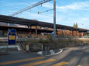
Lengnau railway station
Railway station in Switzerland
Distance: Approx. 364 meters
Latitude and longitude: 47.18194444,7.36138889
Lengnau railway station (German: Bahnhof Lengnau) is a railway station in the municipality of Lengnau, in the Swiss canton of Bern. It is an intermediate stop on the Basel–Biel/Bienne and Jura Foot lines, although trains traveling south on the Basel–Biel/Bienne line from Grenchen Nord do not stop here. It is served by regional trains only.
Pieterlen railway station
Railway station in Switzerland
Distance: Approx. 2546 meters
Latitude and longitude: 47.175,7.33388889
Pieterlen railway station (German: Bahnhof Pieterlen) is a railway station in the municipality of Pieterlen, in the Swiss canton of Bern. It is an intermediate stop on the Basel–Biel/Bienne and Jura Foot lines, although trains traveling south on the Basel–Biel/Bienne line from Grenchen Nord do not stop here. It is served by regional trains only.
Weather in this IP's area
broken clouds
8 Celsius
6 Celsius
7 Celsius
9 Celsius
1029 hPa
99 %
1029 hPa
974 hPa
8000 meters
3.6 m/s
80 degree
75 %
07:15:25
17:12:41


