Country:
 Russian Federation
Region:
City:
Latitude and Longitude:
Time Zone:
Postal Code:
IP information under different IP Channel
ip-api
Country
Region
City
ASN
Time Zone
ISP
Blacklist
Proxy
Latitude
Longitude
Postal
Route
IPinfo
Country
Region
City
ASN
Time Zone
ISP
Blacklist
Proxy
Latitude
Longitude
Postal
Route
MaxMind
Country
Region
City
ASN
Time Zone
ISP
Blacklist
Proxy
Latitude
Longitude
Postal
Route
Luminati
Country
RURegion
niz
City
kstovo
ASN
Time Zone
Europe/Moscow
ISP
LUKOIL Technology Services GmbH
Latitude
Longitude
Postal
db-ip
Country
Region
City
ASN
Time Zone
ISP
Blacklist
Proxy
Latitude
Longitude
Postal
Route
ipdata
Country
Region
City
ASN
Time Zone
ISP
Blacklist
Proxy
Latitude
Longitude
Postal
Route
Popular places and events near this IP address
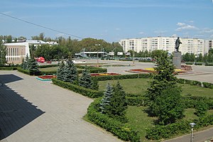
Kstovo
Town in Nizhny Novgorod Oblast, Russia
Distance: Approx. 1840 meters
Latitude and longitude: 56.16666667,44.16666667
Kstovo (Russian: Кстово) is a town and the administrative center of Kstovsky District in Nizhny Novgorod Oblast, Russia, located on the right bank of the Volga River, 22 kilometers (14 mi) southeast of Nizhny Novgorod, the administrative center of the oblast. Population: 66,657 (2010 Census); 66,944 (2002 Census); 62,414 (1989 Soviet census).

Kstovsky District
District in Nizhny Novgorod Oblast, Russia
Distance: Approx. 2628 meters
Latitude and longitude: 56.15166667,44.19555556
Kstovsky District (Russian: Ксто́вский райо́н) is an administrative district (raion), one of the forty in Nizhny Novgorod Oblast, Russia. Municipally, it is incorporated as Kstovsky Municipal District. It is located in the center of the oblast.

Zelyony Gorod
Urban-type settlement in Nizhny Novgorod Oblast, Russia
Distance: Approx. 6807 meters
Latitude and longitude: 56.16666667,44.08333333
Zelyony Gorod (Russian: Зелёный Го́род, lit. green city) is an urban locality (a resort settlement under the administrative jurisdiction of the city of oblast significance of Nizhny Novgorod) in Nizhny Novgorod Oblast, Russia, located in a forested area to the southeast of Nizhny Novgorod and surrounded by the territory of Kstovsky District. Population: 2,716 (2010 Census); 2,437 (2002 Census); 4,234 (1989 Soviet census).
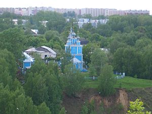
Veliky Vrag, Kstovsky District, Nizhny Novgorod Oblast
Distance: Approx. 3916 meters
Latitude and longitude: 56.15138889,44.23861111
Veliky Vrag (Russian: Вели́кий Враг) is a rural locality (a selo) in Kstovsky District of Nizhny Novgorod Oblast, Russia, located on the high southern bank of the Volga River just northeast of the town of Kstovo. Local historical sites include the Church of Our Lady of Kazan. It was built in 1792 and is now protected as a heritage site, owned by the federal government.

Kstovo Refinery
Oil refinery in Kstovo, Russia
Distance: Approx. 8281 meters
Latitude and longitude: 56.10583333,44.14388889
The Kstovo Refinery, also known as Lukoil-Nizhegorodnefteorgsintez (Russian: Лукойл-Нижегороднефтеоргсинтез) is a oil refinery plant in the Russian city of Kstovo, one of the largest in the country. This refinery has belonged to the Russian company Lukoil since 2001.
Weather in this IP's area
scattered clouds
8 Celsius
7 Celsius
8 Celsius
8 Celsius
1029 hPa
63 %
1029 hPa
1021 hPa
10000 meters
2.25 m/s
2.76 m/s
9 degree
31 %
06:43:19
16:52:40