Country:
 Switzerland
Region:
City:
Latitude and Longitude:
Time Zone:
Postal Code:
IP information under different IP Channel
ip-api
Country
Region
City
ASN
Time Zone
ISP
Blacklist
Proxy
Latitude
Longitude
Postal
Route
IPinfo
Country
Region
City
ASN
Time Zone
ISP
Blacklist
Proxy
Latitude
Longitude
Postal
Route
MaxMind
Country
Region
City
ASN
Time Zone
ISP
Blacklist
Proxy
Latitude
Longitude
Postal
Route
Luminati
Country
CHASN
Time Zone
Europe/Zurich
ISP
VTX Services SA
Latitude
Longitude
Postal
db-ip
Country
Region
City
ASN
Time Zone
ISP
Blacklist
Proxy
Latitude
Longitude
Postal
Route
ipdata
Country
Region
City
ASN
Time Zone
ISP
Blacklist
Proxy
Latitude
Longitude
Postal
Route
Popular places and events near this IP address
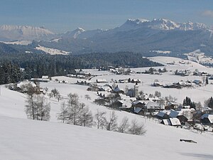
Teuffenthal
Municipality in Bern, Switzerland
Distance: Approx. 1853 meters
Latitude and longitude: 46.78333333,7.71666667
Teuffenthal is a municipality in the administrative district of Thun in the canton of Bern in Switzerland.
Aeschlen bei Oberdiessbach
Former municipality in Bern, Switzerland
Distance: Approx. 5853 meters
Latitude and longitude: 46.83333333,7.65
Aeschlen bei Oberdiessbach (officially known as Aeschlen) was a municipality in the district of Konolfingen in the canton of Bern in Switzerland. On 1 January 2010 the municipality of Aeschlen merged into the municipality of Oberdiessbach.
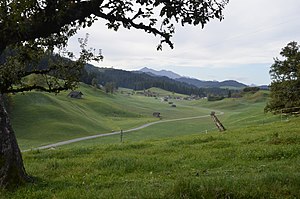
Buchholterberg
Municipality in Bern, Switzerland
Distance: Approx. 2732 meters
Latitude and longitude: 46.81666667,7.68333333
Buchholterberg is a municipality in the administrative district of Thun in the canton of Bern in Switzerland.
Eriz
Municipality in Bern, Switzerland
Distance: Approx. 4790 meters
Latitude and longitude: 46.78333333,7.76666667
Eriz is a municipality in the administrative district of Thun in the canton of Bern in Switzerland.

Fahrni
Municipality in Bern, Switzerland
Distance: Approx. 3600 meters
Latitude and longitude: 46.78333333,7.66666667
Fahrni is a municipality in the administrative district of Thun in the canton of Bern in Switzerland.
Homberg, Bern
Municipality in Bern, Switzerland
Distance: Approx. 4779 meters
Latitude and longitude: 46.76666667,7.66666667
Homberg is a municipality in the administrative district of Thun in the canton of Bern in Switzerland.
Horrenbach-Buchen
Municipality in Bern, Switzerland
Distance: Approx. 4805 meters
Latitude and longitude: 46.76666667,7.75
Horrenbach-Buchen is a municipality in the administrative district of Thun in the canton of Bern in Switzerland.
Oberlangenegg
Municipality in Bern, Switzerland
Distance: Approx. 1853 meters
Latitude and longitude: 46.78333333,7.71666667
Oberlangenegg is a municipality in the administrative district of Thun in the canton of Bern in Switzerland.
Schwendibach
Former municipality in Bern, Switzerland
Distance: Approx. 5698 meters
Latitude and longitude: 46.76666667,7.65
Schwendibach is a former municipality in the administrative district of Thun in the canton of Bern in Switzerland. On 1 January 2020 the former municipality of Schwendibach merged into the municipality of Steffisburg.
Unterlangenegg
Municipality in Bern, Switzerland
Distance: Approx. 1853 meters
Latitude and longitude: 46.78333333,7.71666667
Unterlangenegg or Unter Langenegg is a municipality in the administrative district of Thun in the canton of Bern in Switzerland.
Wachseldorn
Municipality in Bern, Switzerland
Distance: Approx. 2083 meters
Latitude and longitude: 46.81666667,7.71666667
Wachseldorn is a municipality in the administrative district of Thun in the canton of Bern in Switzerland.
Schwändiblueme
Mountain in Switzerland
Distance: Approx. 5788 meters
Latitude and longitude: 46.74694444,7.71111111
The Schwändibleme (also spelled Schwendiblueme; 1,396 m) is a mountain of the Emmental Alps, overlooking Lake Thun in the canton of Bern. The mountain is located between Teuffenthal, Schwendi and Schwanden. The mountain is almost completely wooded.
Weather in this IP's area
clear sky
13 Celsius
13 Celsius
11 Celsius
14 Celsius
1011 hPa
94 %
1011 hPa
913 hPa
10000 meters
0.34 m/s
0.68 m/s
50 degree
6 %
06:55:46
19:59:31