208.79.184.82 - IP Lookup: Free IP Address Lookup, Postal Code Lookup, IP Location Lookup, IP ASN, Public IP
Country:
Region:
City:
Location:
Time Zone:
Postal Code:
ISP:
ASN:
language:
User-Agent:
Proxy IP:
Blacklist:
IP information under different IP Channel
ip-api
Country
Region
City
ASN
Time Zone
ISP
Blacklist
Proxy
Latitude
Longitude
Postal
Route
db-ip
Country
Region
City
ASN
Time Zone
ISP
Blacklist
Proxy
Latitude
Longitude
Postal
Route
IPinfo
Country
Region
City
ASN
Time Zone
ISP
Blacklist
Proxy
Latitude
Longitude
Postal
Route
IP2Location
208.79.184.82Country
Region
louisiana
City
amite
Time Zone
America/Chicago
ISP
Language
User-Agent
Latitude
Longitude
Postal
ipdata
Country
Region
City
ASN
Time Zone
ISP
Blacklist
Proxy
Latitude
Longitude
Postal
Route
Popular places and events near this IP address

Amite City, Louisiana
Town in Louisiana, United States
Distance: Approx. 359 meters
Latitude and longitude: 30.72861111,-90.50861111
Amite City ( ay-MEET or ay-MIT; commonly just Amite) is a town in and the seat of Tangipahoa Parish in southeastern Louisiana, United States. The population was 4,141 at the 2010 census.

Roseland, Louisiana
Town in Louisiana, United States
Distance: Approx. 3915 meters
Latitude and longitude: 30.76055556,-90.50722222
Roseland is a town in Tangipahoa Parish, Louisiana, United States. The population was 1,123 at the 2010 census and 880 in 2020. It is the birthplace of Cajun chef and storyteller Justin Wilson.
Arcola Presbyterian Church
Historic church in Louisiana, United States
Distance: Approx. 5717 meters
Latitude and longitude: 30.77611111,-90.51777778
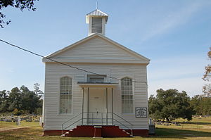
The Arcola Presbyterian Church is a historic Presbyterian church in Arcola, Louisiana, United States. It was built in 1859 and is of the Greek Revival architectural style. It is owned by the Amite–Arcola Presbyterian Church in Amite, Louisiana.
Arcola, Louisiana
Unincorporated community in Louisiana
Distance: Approx. 5710 meters
Latitude and longitude: 30.77666667,-90.51027778
Arcola is an unincorporated community in Tangipahoa Parish, Louisiana.

Episcopal Church of the Incarnation
Historic church in Louisiana, United States
Distance: Approx. 535 meters
Latitude and longitude: 30.73,-90.50666667
Episcopal Church of the Incarnation is a historic church at 111 E. Olive Street in Amite, Louisiana. It was built in 1872 and modified in 1908. It was added to the National Register in 1980.
Amite High Magnet School
Public high school in Amite City, , Louisiana, United States
Distance: Approx. 426 meters
Latitude and longitude: 30.7219,-90.5065
Amite High Magnet School is a public high school in Amite City, Louisiana, United States. It is governed by the Tangipahoa Parish School Board.

Blythewood (Amite City, Louisiana)
Historic house in Louisiana, United States
Distance: Approx. 1107 meters
Latitude and longitude: 30.73083333,-90.49861111
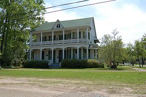
Blythewood is a historic mansion in Amite City, Louisiana, U.S..

Greenlawn (Amite City, Louisiana)
Historic house in Louisiana, United States
Distance: Approx. 212 meters
Latitude and longitude: 30.72444444,-90.50638889
Greenlawn is a historic mansion in Amite City, Louisiana, U.S.. It has been listed on the National Register of Historic Places since May 31, 1980.
Kedron, Louisiana
Unincorporated community in Louisiana
Distance: Approx. 7457 meters
Latitude and longitude: 30.75666667,-90.57722222
Kedron is an unincorporated community in St. Helena Parish, Louisiana, United States. The community is located less than 4 miles (6.4 kilometres) northwest of Amite City and 3 miles (4.8 kilometres) west of Roseland.
Weather in this IP's area
broken clouds
11 Celsius
10 Celsius
11 Celsius
12 Celsius
1022 hPa
96 %
1022 hPa
1016 hPa
10000 meters
1.23 m/s
1.35 m/s
29 degree
78 %
