Country:
 Great Britain
Region:
City:
Latitude and Longitude:
Time Zone:
Postal Code:
IP information under different IP Channel
ip-api
Country
Region
City
ASN
Time Zone
ISP
Blacklist
Proxy
Latitude
Longitude
Postal
Route
IPinfo
Country
Region
City
ASN
Time Zone
ISP
Blacklist
Proxy
Latitude
Longitude
Postal
Route
MaxMind
Country
Region
City
ASN
Time Zone
ISP
Blacklist
Proxy
Latitude
Longitude
Postal
Route
Luminati
Country
GBRegion
eng
City
stockport
ASN
Time Zone
Europe/London
ISP
Hetzner Online GmbH
Latitude
Longitude
Postal
db-ip
Country
Region
City
ASN
Time Zone
ISP
Blacklist
Proxy
Latitude
Longitude
Postal
Route
ipdata
Country
Region
City
ASN
Time Zone
ISP
Blacklist
Proxy
Latitude
Longitude
Postal
Route
Popular places and events near this IP address

Reddish
Suburb of Stockport, in Greater Manchester, England
Distance: Approx. 663 meters
Latitude and longitude: 53.4383,-2.1613
Reddish is an area in Metropolitan Borough of Stockport, Greater Manchester, England. 4.6 miles (7.4 km) south-east of Manchester city centre. At the 2011 census, the population was 28,052.

Denton and Reddish (UK Parliament constituency)
Parliamentary constituency in the United Kingdom, 1983 onwards
Distance: Approx. 631 meters
Latitude and longitude: 53.4378,-2.1598
Denton and Reddish is a constituency represented in the House of Commons of the UK Parliament since 2005 by Andrew Gwynne of the Labour Party. The seat is due to be abolished for the 2024 general election.
Reddish Vale High School
Academy, comprehensive school in Reddish Vale Road, Reddish, Stockport, Greater Manchester, England
Distance: Approx. 525 meters
Latitude and longitude: 53.4374,-2.1529
Reddish Vale High School, formerly Reddish Vale Technology College is a secondary school in Stockport, Greater Manchester, England. It is a coeducational school with academy status, part of South Manchester academy trust, educating 1100 pupils in the 11-16 range.
Brinnington
Human settlement in England
Distance: Approx. 1465 meters
Latitude and longitude: 53.435,-2.135
Brinnington is a north-eastern suburb of Stockport, Greater Manchester, England, on a bluff above a bend in the Tame Valley between the M60 motorway and Reddish Vale Country Park.

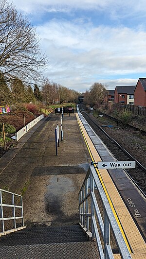
Reddish North railway station
Railway station in Greater Manchester, England
Distance: Approx. 784 meters
Latitude and longitude: 53.449,-2.156
Reddish North is one of two railway stations serving the suburb of Reddish in Stockport, England; the other is Reddish South. It is a stop on the Hope Valley line between Manchester Piccadilly and Sheffield.

St Elisabeth's Church, Reddish
Church in Stockport, Greater Manchester, England
Distance: Approx. 791 meters
Latitude and longitude: 53.437972,-2.163303
St. Elisabeth's Church is an Anglo Catholic church in Reddish, an area in the Metropolitan Borough of Stockport, Greater Manchester, England, designed by Alfred Waterhouse in the Victorian Gothic style. It is a grade I listed building.
Reddish South railway station
Railway station in Reddish, England
Distance: Approx. 729 meters
Latitude and longitude: 53.4361,-2.158
Reddish South railway station is a stop on the Stockport–Stalybridge Line in Reddish, Stockport, England. The station, used by only 26 passengers in 2013/14, is one of the quietest on the UK rail network. From May 1992 until May 2018, it was served by parliamentary services in order to avoid formal proceeding to close the line.

Reddish Vale
Vale in Greater Manchester, England
Distance: Approx. 863 meters
Latitude and longitude: 53.43833333,-2.14222222
Reddish Vale is in the Tame Valley close to Reddish, Greater Manchester, England. The centre of the vale is around the bottom of Reddish Vale Road. Reddish Vale Country Park is a country park managed by Stockport Metropolitan Borough Council (SMBC).
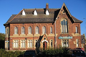
Houldsworth Working Men's Club
Club in Greater Manchester, England
Distance: Approx. 489 meters
Latitude and longitude: 53.4383,-2.1573
Houldsworth Working Men's Club is a club in Stockport, Greater Manchester, England (grid reference SJ895935). Designed by the famed Alfred Waterhouse and completed in the late 19th century, it is still used as a working men's club today. An important local structure, it is now a Grade II* listed building.

Broadstone Mill, Reddish
English cotton spinning mill
Distance: Approx. 1135 meters
Latitude and longitude: 53.434,-2.164
Broadstone Mill was a double cotton spinning mill on the eastern bank of the Stockport Branch Canal in Reddish, Stockport, Greater Manchester, England. Construction of the twin mills commenced in 1903 and was completed in 1907. They closed in 1957, and the southern mill and engine houses were demolished in 1965.
Houldsworth Model Village
Distance: Approx. 945 meters
Latitude and longitude: 53.437,-2.165
Houldsworth Model Village was a model village situated in the centre of Reddish, 3 miles north of Stockport in the North of England. It was built by William Houldsworth, for the benefit of his employees at Houldsworth Mills. The first of Houldsworth's mills was completed in 1865.

Reddish Electric Depot
Former railway depot in Greater Manchester, England
Distance: Approx. 1375 meters
Latitude and longitude: 53.4511,-2.1678
Reddish Electric Depot was an electric traction depot located in Reddish, Stockport, England. It was situated on the west side of the Fallowfield Loop line between Hyde Road and Levenshulme South stations; however, neither of the Reddish stations (North and South) were sited on this line. It was built to service the electric locomotives and local electric multiple units (EMUs) that were employed on the Woodhead Line between Manchester Piccadilly, Hadfield, Sheffield and Wath.
Weather in this IP's area
overcast clouds
10 Celsius
10 Celsius
9 Celsius
11 Celsius
1017 hPa
80 %
1017 hPa
1007 hPa
10000 meters
2.24 m/s
4.92 m/s
117 degree
100 %
07:35:54
18:12:24