200.124.205.81 - IP Lookup: Free IP Address Lookup, Postal Code Lookup, IP Location Lookup, IP ASN, Public IP
Country:
Region:
City:
Location:
Time Zone:
Postal Code:
IP information under different IP Channel
ip-api
Country
Region
City
ASN
Time Zone
ISP
Blacklist
Proxy
Latitude
Longitude
Postal
Route
Luminati
Country
Region
mo
City
pocitos
ASN
Time Zone
America/Montevideo
ISP
ZONAMERICA
Latitude
Longitude
Postal
IPinfo
Country
Region
City
ASN
Time Zone
ISP
Blacklist
Proxy
Latitude
Longitude
Postal
Route
IP2Location
200.124.205.81Country
Region
montevideo
City
montevideo
Time Zone
America/Montevideo
ISP
Language
User-Agent
Latitude
Longitude
Postal
db-ip
Country
Region
City
ASN
Time Zone
ISP
Blacklist
Proxy
Latitude
Longitude
Postal
Route
ipdata
Country
Region
City
ASN
Time Zone
ISP
Blacklist
Proxy
Latitude
Longitude
Postal
Route
Popular places and events near this IP address

Estadio Contador Damiani
Distance: Approx. 1108 meters
Latitude and longitude: -34.8417,-56.1614
Estadio Contador Damiani, formerly Las Acacias, is a stadium in Montevideo, Uruguay, inaugurated in 1916 and re-built in 1997. It is used mostly for Peñarol's reserves matches. The stadium, mostly used for football matches, can hold up to 7,000 people.

Hipodromo Nacional de Maroñas
Distance: Approx. 2400 meters
Latitude and longitude: -34.839555,-56.142926
Hipódromo Nacional de Maroñas is a horse racing track located in Ituzaingó neighbourhood, in Montevideo, Uruguay. It has a 2,065 metres main dirt track and a dirt 2,000 metres training track. It has a seating capacity of 2,426 people and can accommodate approximately 5,500 standing.

Battle of Cerrito
Distance: Approx. 2228 meters
Latitude and longitude: -34.85333333,-56.17027778
The Battle of Cerrito (outskirts of Montevideo, 31 December 1812), was a battle for the War of Independence of the Viceroyalty of the Río de la Plata, between the royalist forces who had control of the city of Montevideo and the rebel forces of the government of Buenos Aires.

Reducto
Barrio in Montevideo Department, Uruguay
Distance: Approx. 1894 meters
Latitude and longitude: -34.82583333,-56.18666667
Reducto is a barrio (neighbourhood or district) of Montevideo, Uruguay. It borders Bella Vista to the west, Prado and Atahualpa to the north, La Figurita and Villa Muñoz to the east and Aguada to the south.

Peñarol, Montevideo
Barrio in Montevideo Department, Uruguay
Distance: Approx. 2325 meters
Latitude and longitude: -34.81666667,-56.18333333
Peñarol, also known as Peñarol–Lavalleja, is a working-class barrio (neighbourhood or district) of Montevideo, Uruguay. On 10 March 1913, Peñarol was declared a "pueblo" (village) by the Act of Ley Nº 4.311. On 1 July 1953, its status was elevated to "villa" (town) by the Act of Ley Nº 11.967.

Casavalle
Barrio in Montevideo Department, Uruguay
Distance: Approx. 451 meters
Latitude and longitude: -34.82944444,-56.16916667
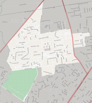
Casavalle is a barrio of Montevideo, Uruguay.

Cerrito, Montevideo
Barrio in Montevideo Department, Uruguay
Distance: Approx. 2561 meters
Latitude and longitude: -34.85638889,-56.16916667
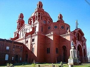
Cerrito, officially Cerrito de la Victoria, is a barrio (neighbourhood or district) of Montevideo, Uruguay. Most of the barrio is on a hill (cerrito is Spanish for "hill") on which is the church named Santuario Nacional del Cerrito. This hill was the seat of the temporary government of General Oribe during his siege of Montevideo.

Las Acacias, Montevideo
Barrio in Montevideo Department, Uruguay
Distance: Approx. 1188 meters
Latitude and longitude: -34.84333333,-56.16333333
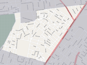
Las Acacias is a barrio (neighbourhood or district) of Montevideo, Uruguay.

Cementerio del Norte, Montevideo
Cemetery in Montevideo, Uruguay
Distance: Approx. 1290 meters
Latitude and longitude: -34.84138889,-56.17833333
Cementerio del Norte is the largest cemetery in Montevideo, Uruguay, and also the largest green park area of the city. It is located in the barrio of Casavalle in the northern-central part of the city, about 7 kilometres from the centre. To the southwest is Parque Luis Rivero and the barrio of Aires Puros.

Estadio Parque Maracaná
Distance: Approx. 477 meters
Latitude and longitude: -34.83679722,-56.17128611
The Estadio Parque Maracaná is a football stadium in Casavalle, Montevideo, Uruguay. It has a capacity of 8,000 and is the home stadium of Club Sportivo Cerrito. The stadium opened on Saturday 20 September 2008, with a match between Cerrito and Huracán Buceo in the Segunda División which Cerrito won 3 -0.

Siege of Montevideo (1812–1814)
Distance: Approx. 2228 meters
Latitude and longitude: -34.85333333,-56.17027778
The event known as Second Siege of Montevideo (Spanish: Segundo Sitio de Montevideo) took place between 1812 and 1814, when the patriotic troops led by José Rondeau besieged the city of Montevideo, still held by Spanish loyalists under the leadership of Gaspar de Vigodet, governor of Montevideo. The siege was successful and marked the end of the Spanish presence in present-day Uruguay. During this whole period and just like in the failed first siege of Montevideo, supplied from over the sea, the city held out, until 17 May 1814.
Cap. Juan Manuel Boiso Lanza Air Base
Airport in Montevideo Department, Uruguay
Distance: Approx. 2511 meters
Latitude and longitude: -34.81111111,-56.16388889
Cap. Juan Manuel Boiso Lanza Air Base (Spanish: Base Aérea Cap. Juan Manuel Boiso Lanza) (ICAO: SUBL) is an air base of the Uruguayan Air Force located in the Montevideo Department of Uruguay.
Weather in this IP's area
scattered clouds
24 Celsius
24 Celsius
23 Celsius
24 Celsius
1015 hPa
53 %
1015 hPa
1010 hPa
10000 meters
4.63 m/s
210 degree
40 %