193.222.128.194 - IP Lookup: Free IP Address Lookup, Postal Code Lookup, IP Location Lookup, IP ASN, Public IP
Country:
Region:
City:
Location:
Time Zone:
Postal Code:
IP information under different IP Channel
ip-api
Country
Region
City
ASN
Time Zone
ISP
Blacklist
Proxy
Latitude
Longitude
Postal
Route
Luminati
Country
ASN
Time Zone
Europe/Paris
ISP
Hivane Association
Latitude
Longitude
Postal
IPinfo
Country
Region
City
ASN
Time Zone
ISP
Blacklist
Proxy
Latitude
Longitude
Postal
Route
IP2Location
193.222.128.194Country
Region
auvergne-rhone-alpes
City
anjou
Time Zone
Europe/Paris
ISP
Language
User-Agent
Latitude
Longitude
Postal
db-ip
Country
Region
City
ASN
Time Zone
ISP
Blacklist
Proxy
Latitude
Longitude
Postal
Route
ipdata
Country
Region
City
ASN
Time Zone
ISP
Blacklist
Proxy
Latitude
Longitude
Postal
Route
Popular places and events near this IP address
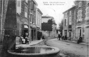
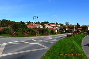
Chanas, Isère
Commune in Auvergne-Rhône-Alpes, France
Distance: Approx. 5836 meters
Latitude and longitude: 45.3192,4.8197
Chanas (French pronunciation: [ʃana]) is a commune in the Isère department in southeastern France.

Saint-Romain-de-Surieu
Commune in Auvergne-Rhône-Alpes, France
Distance: Approx. 4388 meters
Latitude and longitude: 45.3872,4.8839
Saint-Romain-de-Surieu (French pronunciation: [sɛ̃ ʁɔmɛ̃ də syʁjø]) is a commune in the Isère department in southeastern France.

Ville-sous-Anjou
Commune in Auvergne-Rhône-Alpes, France
Distance: Approx. 2184 meters
Latitude and longitude: 45.3628,4.8642
Ville-sous-Anjou (French pronunciation: [vil su.z‿ɑ̃ʒu]) is a commune in the Isère department in southeastern France.
Roussillon, Isère
Commune in Auvergne-Rhône-Alpes, France
Distance: Approx. 5070 meters
Latitude and longitude: 45.3719,4.8272
Roussillon (French pronunciation: [ʁusijɔ̃] ) is a commune in the Isère department in southeastern France.
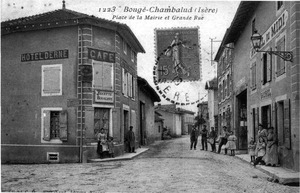
Bougé-Chambalud
Commune in Auvergne-Rhône-Alpes, France
Distance: Approx. 2430 meters
Latitude and longitude: 45.3311,4.9022
Bougé-Chambalud (French pronunciation: [buʒe ʃɑ̃baly]) is a commune in the Isère department in southeastern France.
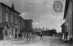
Anjou, Isère
Commune in Auvergne-Rhône-Alpes, France
Distance: Approx. 0 meters
Latitude and longitude: 45.3478,4.8822
Anjou (French pronunciation: [ɑ̃ʒu] ) is a commune in the Isère department, region of Auvergne-Rhône-Alpes, southeastern France.
Agnin
Commune in Auvergne-Rhône-Alpes, France
Distance: Approx. 2050 meters
Latitude and longitude: 45.3411,4.8578
Agnin (French pronunciation: [aɲɛ̃]) is a commune in the Isère department in the Auvergne-Rhône-Alpes region of south-eastern France. The commune has been awarded one flower by the National Council of Towns and Villages in Bloom in the Competition of cities and villages in Bloom.
Épinouze
Commune in Auvergne-Rhône-Alpes, France
Distance: Approx. 5543 meters
Latitude and longitude: 45.31,4.9283
Épinouze (French pronunciation: [epinuz]) is a commune in the Drôme department in the Auvergne-Rhône-Alpes region in southeastern France.
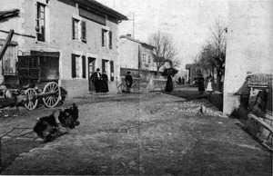
La Chapelle-de-Surieu
Commune in Auvergne-Rhône-Alpes, France
Distance: Approx. 5388 meters
Latitude and longitude: 45.3919,4.9106
La Chapelle-de-Surieu (French pronunciation: [la ʃapɛl də syʁjø]) is a commune in the Isère department in southeastern France.
Salaise-sur-Sanne
Commune in Auvergne-Rhône-Alpes, France
Distance: Approx. 4874 meters
Latitude and longitude: 45.3453,4.82
Salaise-sur-Sanne (French pronunciation: [salɛz syʁ san]) is a commune in the Isère department in southeastern France.
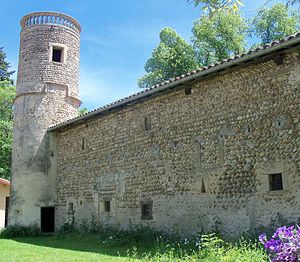
Jarcieu
Commune in Auvergne-Rhône-Alpes, France
Distance: Approx. 5291 meters
Latitude and longitude: 45.3347,4.9472
Jarcieu (French pronunciation: [ʒaʁsjø] ) is a commune in the Isère department in southeastern France.

Sonnay
Commune in Auvergne-Rhône-Alpes, France
Distance: Approx. 2161 meters
Latitude and longitude: 45.3556,4.9075
Sonnay (French pronunciation: [sɔnɛ]) is a commune in the Isère department in southeastern France.
Weather in this IP's area
clear sky
5 Celsius
4 Celsius
4 Celsius
6 Celsius
1032 hPa
62 %
1032 hPa
1001 hPa
10000 meters
1.56 m/s
1.51 m/s
24 degree
2 %

