192.166.40.64 - IP Lookup: Free IP Address Lookup, Postal Code Lookup, IP Location Lookup, IP ASN, Public IP
Country:
 Germany
Region:
City:
Location:
Time Zone:
Postal Code:
ISP:
ASN:
language:
User-Agent:
Proxy IP:
Blacklist:
IP information under different IP Channel
ip-api
Country
Region
City
ASN
Time Zone
ISP
Blacklist
Proxy
Latitude
Longitude
Postal
Route
db-ip
Country
Region
City
ASN
Time Zone
ISP
Blacklist
Proxy
Latitude
Longitude
Postal
Route
IPinfo
Country
Region
City
ASN
Time Zone
ISP
Blacklist
Proxy
Latitude
Longitude
Postal
Route
IP2Location
192.166.40.64Country
deRegion
schleswig-holstein
City
barmstedt
Time Zone
Europe/Berlin
ISP
Language
User-Agent
Latitude
Longitude
Postal
ipdata
Country
Region
City
ASN
Time Zone
ISP
Blacklist
Proxy
Latitude
Longitude
Postal
Route
Popular places and events near this IP address

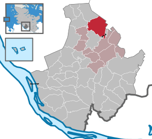
Pinneberg (district)
District in Schleswig-Holstein, Germany
Distance: Approx. 4824 meters
Latitude and longitude: 53.75,9.75
Pinneberg (German: [ˈpʰɪnəbɛɐ̯k] ) is a district in Schleswig-Holstein, Germany. It is bounded by (from the northwest and clockwise) the districts of Steinburg and Segeberg, the city (and state) of Hamburg and the state of Lower Saxony (district Stade). The island of Heligoland is also part of the district.
Lutzhorn
Municipality in Schleswig-Holstein, Germany
Distance: Approx. 3632 meters
Latitude and longitude: 53.82472222,9.76638889
Lutzhorn is a small municipality, part of the district of Pinneberg, in Schleswig-Holstein, northern Germany. Three SubCommunities: Im Dorf, Krummendiek and Seis belong to Lutzhorn. Lutzhorn is part of the Amt Rantzau.

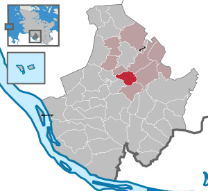
Barmstedt
Town in Schleswig-Holstein, Germany
Distance: Approx. 977 meters
Latitude and longitude: 53.78333333,9.76666667
Barmstedt (German pronunciation: [ˈbaʁmˌʃtɛt] ) is a town in the district of Pinneberg, in the south of Schleswig-Holstein, Germany. It is situated approximately 8 km northeast of Elmshorn, and 30 km northwest of Hamburg. It has approximately 10,400 inhabitants which makes it the smallest town in the Pinneberg district.
Bevern, Schleswig-Holstein
Municipality in Schleswig-Holstein, Germany
Distance: Approx. 4687 meters
Latitude and longitude: 53.75,9.76666667
Bevern is a municipality in the district of Pinneberg, in Schleswig-Holstein, Germany.

Heede, Schleswig-Holstein
Municipality in Schleswig-Holstein, Germany
Distance: Approx. 2579 meters
Latitude and longitude: 53.78361111,9.80388889
Heede is a municipality in the district of Pinneberg, in Schleswig-Holstein, Germany.
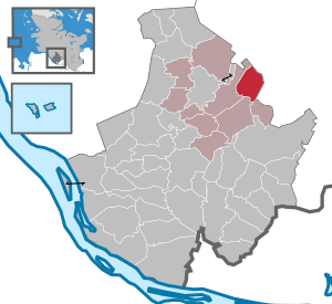
Langeln, Schleswig-Holstein
Municipality in Schleswig-Holstein, Germany
Distance: Approx. 5746 meters
Latitude and longitude: 53.79666667,9.85444444
Langeln is a municipality in the district of Pinneberg, in Schleswig-Holstein, Germany.

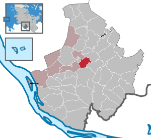
Bokholt-Hanredder
Municipality in Schleswig-Holstein, Germany
Distance: Approx. 3337 meters
Latitude and longitude: 53.78583333,9.71777778
Bokholt-Hanredder is a municipality in the district of Pinneberg, in Schleswig-Holstein, Germany. Bokholt-Hanredder consists of the four districts Voßloch, Bokholt, Hanredder and Offenau, which are symbolically represented in the coat of arms (created in 1982). The fox represents Voßloch, the Offenau creek separates the district of the same name from the rest of the municipality.

Bullenkuhlen
Municipality in Schleswig-Holstein, Germany
Distance: Approx. 3054 meters
Latitude and longitude: 53.76666667,9.75
Bullenkuhlen is a municipality in the district of Pinneberg, in Schleswig-Holstein, Germany.

Groß Offenseth-Aspern
Municipality in Schleswig-Holstein, Germany
Distance: Approx. 3535 meters
Latitude and longitude: 53.81666667,9.73333333
Groß Offenseth-Aspern is a municipality in the district of Pinneberg, in Schleswig-Holstein, Germany.

Hemdingen
Municipality in Schleswig-Holstein, Germany
Distance: Approx. 5572 meters
Latitude and longitude: 53.765,9.83861111
Hemdingen is a municipality in the district of Pinneberg, in Schleswig-Holstein, Germany.

Klein Offenseth-Sparrieshoop
Municipality in Schleswig-Holstein, Germany
Distance: Approx. 4468 meters
Latitude and longitude: 53.79722222,9.7
Klein Offenseth-Sparrieshoop is a municipality in the district of Pinneberg, in Schleswig-Holstein, Germany.
Seeth-Ekholt
Municipality in Schleswig-Holstein, Germany
Distance: Approx. 5760 meters
Latitude and longitude: 53.74555556,9.72916667
Seeth-Ekholt is a municipality in the district of Pinneberg, in Schleswig-Holstein, Germany.
Weather in this IP's area
overcast clouds
2 Celsius
2 Celsius
2 Celsius
2 Celsius
1031 hPa
87 %
1031 hPa
1029 hPa
10000 meters
0.89 m/s
4.02 m/s
128 degree
100 %