Country:
 Sweden
Region:
City:
Latitude and Longitude:
Time Zone:
Postal Code:
IP information under different IP Channel
ip-api
Country
Region
City
ASN
Time Zone
ISP
Blacklist
Proxy
Latitude
Longitude
Postal
Route
IPinfo
Country
Region
City
ASN
Time Zone
ISP
Blacklist
Proxy
Latitude
Longitude
Postal
Route
MaxMind
Country
Region
City
ASN
Time Zone
ISP
Blacklist
Proxy
Latitude
Longitude
Postal
Route
Luminati
Country
SERegion
u
City
norberg
ASN
Time Zone
Europe/Stockholm
ISP
Tele2 SWIPnet
Latitude
Longitude
Postal
db-ip
Country
Region
City
ASN
Time Zone
ISP
Blacklist
Proxy
Latitude
Longitude
Postal
Route
ipdata
Country
Region
City
ASN
Time Zone
ISP
Blacklist
Proxy
Latitude
Longitude
Postal
Route
Popular places and events near this IP address

Fagersta Municipality
Municipality in Västmanland County, Sweden
Distance: Approx. 9204 meters
Latitude and longitude: 60,15.81666667
Fagersta Municipality (Fagersta kommun) is a municipality in Västmanland County in central Sweden. Its seat is located in the city of Fagersta. The City of Fagersta (instituted in 1944) was in 1967 merged with Västervåla parish (which had been part of Surahammar Municipality since 1963).

Norberg Municipality
Municipality in Västmanland County, Sweden
Distance: Approx. 2676 meters
Latitude and longitude: 60.08333333,15.95
Norberg Municipality (Norbergs kommun) is a municipality in Västmanland County in central Sweden. Its seat is located in the town of Norberg.

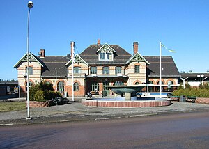
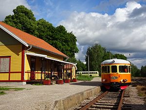
Norberg
Place in Västmanland, Sweden
Distance: Approx. 2676 meters
Latitude and longitude: 60.08333333,15.95
Norberg (Swedish pronunciation: [ˈnûːrbærj]) is a locality and the seat of Norberg Municipality in Västmanland County, Sweden with 4,518 inhabitants in 2010. Best known for the Norbergfestival which is Scandinavias biggest electronic music festival, organized in an old iron ore mine. Norberg consists of two large parts, the actual Norberg in the south and Kärrgruvan (Marsh Mine) in the north, along with smaller settlements scattered around the area.

Fagersta
Place in Västmanland, Sweden
Distance: Approx. 9760 meters
Latitude and longitude: 60.00416667,15.79333333
Fagersta is a locality and the seat of Fagersta Municipality in Västmanland County, Sweden, with 11,130 inhabitants in 2010.
Lapphyttan
Archaeological type site
Distance: Approx. 8359 meters
Latitude and longitude: 60.0757,16.07076667
Lapphyttan or Lapphyttejarn in Norberg Municipality, Sweden, may be regarded as the type site for the Medieval Blast Furnace. Its date is probably between 1150 and 1350. It produced cast iron, which was then fined to make ferritic wrought iron cake or bun-like blooms.
Västanfors
Distance: Approx. 10005 meters
Latitude and longitude: 59.99111111,15.81611111
Västanfors is a district (stadsdel) of Fagersta and is located in Fagersta Municipality, Sweden.
Kärrgruvan
Distance: Approx. 3685 meters
Latitude and longitude: 60.0964,15.9325
Kärrgruvan is the name of the northern part of the locality Norberg, located in Norberg Municipality in northwestern Västmanland, Sweden. The locality is mainly famous for its history of industrial mining which lasted for more than 800 years.

Fagersta airspace surveillance tower
Airspace surveillance tower in Sweden
Distance: Approx. 8942 meters
Latitude and longitude: 60.01033333,15.802
Fagersta airspace surveillance tower (Swedish: Fagersta luftbevakningstorn) is an airspace surveillance tower in Fagersta, Västmanland County, Sweden. Designed by Cyrillus Johansson, it is the only architect designed airspace surveillance tower in Sweden dating from World War II and one of only a few such towers to remain intact. It was designated a listed building in 2013.
Weather in this IP's area
overcast clouds
9 Celsius
8 Celsius
9 Celsius
9 Celsius
1018 hPa
90 %
1018 hPa
1002 hPa
10000 meters
1.8 m/s
5.11 m/s
182 degree
100 %
07:43:41
17:38:48