191.242.189.42 - IP Lookup: Free IP Address Lookup, Postal Code Lookup, IP Location Lookup, IP ASN, Public IP
Country:
Region:
City:
Location:
Time Zone:
Postal Code:
IP information under different IP Channel
ip-api
Country
Region
City
ASN
Time Zone
ISP
Blacklist
Proxy
Latitude
Longitude
Postal
Route
Luminati
Country
Region
ba
City
taperoa
ASN
Time Zone
America/Bahia
ISP
CONECT TELECOM
Latitude
Longitude
Postal
IPinfo
Country
Region
City
ASN
Time Zone
ISP
Blacklist
Proxy
Latitude
Longitude
Postal
Route
IP2Location
191.242.189.42Country
Region
bahia
City
velha boipeba
Time Zone
ISP
Language
User-Agent
Latitude
Longitude
Postal
db-ip
Country
Region
City
ASN
Time Zone
ISP
Blacklist
Proxy
Latitude
Longitude
Postal
Route
ipdata
Country
Region
City
ASN
Time Zone
ISP
Blacklist
Proxy
Latitude
Longitude
Postal
Route
Popular places and events near this IP address

Ilha de Tinharé
Distance: Approx. 9844 meters
Latitude and longitude: -13.5,-38.96666667
Ilha de Tinharé (Tinharé Island) is an island located in the municipality of Cairu, on the coast of Brazil with area of 400km2 (154 sq mi). The town of Tinharé is accessible via catamaran or boat from the river that passes through the municipality of Valença.

Ilha de Boipeba
Distance: Approx. 5365 meters
Latitude and longitude: -13.62333333,-38.90638889
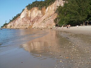
Ilha de Boipeba (transl. Boipeba Island) is an island in the Cairu municipality in Brazil, near the Ilha de Tinharé and part of the Cairu Archipelago. It is surrounded on the east by the Atlantic Ocean and on the west by the Rio de l'Enfer estuary. It is a popular tourist destination due to its scenic beaches and rainforest, which makes up the majority of the island's economy along with fishing.
Boipeba Airport
Airport
Distance: Approx. 2075 meters
Latitude and longitude: -13.56444444,-38.93888889
Fábio Perini Airport (IATA: PBA, ICAO: SDLO), also called Fazenda Pontal is the airport serving the district of Boipeba in Cairu, Brazil.
Weather in this IP's area
overcast clouds
30 Celsius
32 Celsius
30 Celsius
30 Celsius
1013 hPa
53 %
1013 hPa
1013 hPa
10000 meters
3.8 m/s
3.26 m/s
88 degree
99 %