Country:
 Brazil
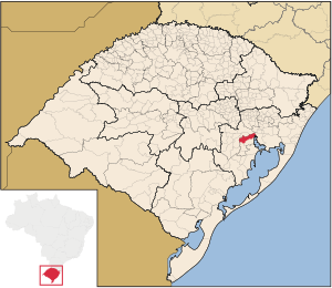
Region:
City:
Latitude and Longitude:
Time Zone:
Postal Code:
IP information under different IP Channel
ip-api
Country
Region
City
ASN
Time Zone
ISP
Blacklist
Proxy
Latitude
Longitude
Postal
Route
IPinfo
Country
Region
City
ASN
Time Zone
ISP
Blacklist
Proxy
Latitude
Longitude
Postal
Route
MaxMind
Country
Region
City
ASN
Time Zone
ISP
Blacklist
Proxy
Latitude
Longitude
Postal
Route
Luminati
Country
BRRegion
rs
City
gravatai
ASN
Time Zone
America/Sao_Paulo
ISP
Vogel Solucoes em Telecom e Informatica SA
Latitude
Longitude
Postal
db-ip
Country
Region
City
ASN
Time Zone
ISP
Blacklist
Proxy
Latitude
Longitude
Postal
Route
ipdata
Country
Region
City
ASN
Time Zone
ISP
Blacklist
Proxy
Latitude
Longitude
Postal
Route
Popular places and events near this IP address

Arroio dos Ratos
Municipality in Rio Grande do Sul, Brazil
Distance: Approx. 8062 meters
Latitude and longitude: -30.07694444,-51.72888889
Arroio dos Ratos is a municipality in the Brazilian state of Rio Grande do Sul. Thanks to its soil, is nationally known as the National Cradle of the Coal industry. The city is also known as the National Capital of the Watermelon.
Eldorado do Sul
Municipality in Rio Grande do Sul, Brazil
Distance: Approx. 3496 meters
Latitude and longitude: -30.08388889,-51.61583333
Eldorado do Sul is a municipality in the state of Rio Grande do Sul, Brazil. It is located in the metropolitan area of Porto Alegre, the state's capital and largest city, opposite the capital on the right bank of Guaíba River. Population: 41,902 (est.
Weather in this IP's area
clear sky
21 Celsius
21 Celsius
21 Celsius
21 Celsius
1023 hPa
77 %
1023 hPa
1017 hPa
10000 meters
2.69 m/s
7.12 m/s
124 degree
4 %
06:23:10
18:19:37