Country:
Region:
City:
Latitude and Longitude:
Time Zone:
Postal Code:
IP information under different IP Channel
ip-api
Country
Region
City
ASN
Time Zone
ISP
Blacklist
Proxy
Latitude
Longitude
Postal
Route
Luminati
Country
Region
sp
City
itapecericadaserra
ASN
Time Zone
America/Sao_Paulo
ISP
ITANET TELECOM
Latitude
Longitude
Postal
IPinfo
Country
Region
City
ASN
Time Zone
ISP
Blacklist
Proxy
Latitude
Longitude
Postal
Route
db-ip
Country
Region
City
ASN
Time Zone
ISP
Blacklist
Proxy
Latitude
Longitude
Postal
Route
ipdata
Country
Region
City
ASN
Time Zone
ISP
Blacklist
Proxy
Latitude
Longitude
Postal
Route
Popular places and events near this IP address

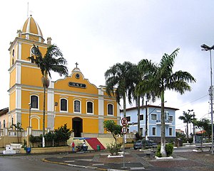
Itapecerica da Serra
Municipality in Southeast Brazil, Brazil
Distance: Approx. 2918 meters
Latitude and longitude: -23.71722222,-46.84944444
Itapecerica da Serra (Portuguese pronunciation: [itapeˈsɛɾikɐ dɐ ˈsɛʁɐ]) is a municipality in the Brazilian state of São Paulo. It is part of the Metropolitan Region of São Paulo. The population is 177,662 (2020 est.) in an area of 150.74 km2 (58.20 sq mi).

Embu-Guaçu River
River in Brazil
Distance: Approx. 8260 meters
Latitude and longitude: -23.8,-46.8
The Embu-Guaçu River is a river of São Paulo state in southeastern Brazil.

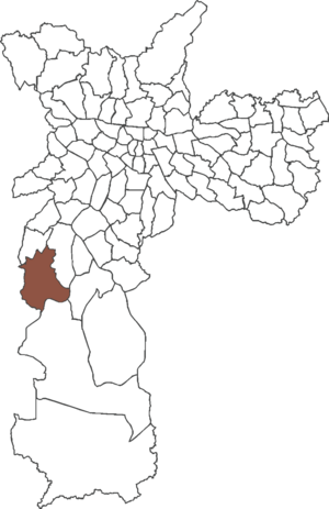
Jardim Ângela
District of São Paulo, Brazil
Distance: Approx. 9573 meters
Latitude and longitude: -23.7125,-46.7646
Jardim Ângela is a district in the subprefecture of M'Boi Mirim of the city of São Paulo, Brazil.
Weather in this IP's area
scattered clouds
23 Celsius
24 Celsius
21 Celsius
24 Celsius
1011 hPa
98 %
1011 hPa
910 hPa
10000 meters
2.02 m/s
2.88 m/s
138 degree
48 %
05:13:23
18:32:17