179.127.250.171 - IP Lookup: Free IP Address Lookup, Postal Code Lookup, IP Location Lookup, IP ASN, Public IP
Country:
Region:
City:
Location:
Time Zone:
Postal Code:
IP information under different IP Channel
ip-api
Country
Region
City
ASN
Time Zone
ISP
Blacklist
Proxy
Latitude
Longitude
Postal
Route
Luminati
Country
Region
go
City
valparaisodegoias
ASN
Time Zone
America/Sao_Paulo
ISP
VERO S.A
Latitude
Longitude
Postal
IPinfo
Country
Region
City
ASN
Time Zone
ISP
Blacklist
Proxy
Latitude
Longitude
Postal
Route
IP2Location
179.127.250.171Country
Region
goias
City
novo gama
Time Zone
America/Sao_Paulo
ISP
Language
User-Agent
Latitude
Longitude
Postal
db-ip
Country
Region
City
ASN
Time Zone
ISP
Blacklist
Proxy
Latitude
Longitude
Postal
Route
ipdata
Country
Region
City
ASN
Time Zone
ISP
Blacklist
Proxy
Latitude
Longitude
Postal
Route
Popular places and events near this IP address

Valparaíso de Goiás
Municipality in Central-West, Brazil
Distance: Approx. 5912 meters
Latitude and longitude: -16.06861111,-47.97638889
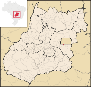
Valparaíso de Goiás is a municipality in east-central Goiás state, Brazil.

Novo Gama
Municipality in Central-West, Brazil
Distance: Approx. 5 meters
Latitude and longitude: -16.05361111,-48.02944444
Novo Gama is a municipality in eastern Goiás state, Brazil. In 2020 the population was 117,703 inhabitants.

Bezerrão
Brazilian football stadium
Distance: Approx. 5768 meters
Latitude and longitude: -16.0125,-48.06222222
Estádio Walmir Campelo Bezerra, usually known as Bezerrão, is a Brazilian football stadium, located at administrative region of Gama, in the Distrito Federal. It is currently used mostly for football matches. The stadium has a capacity of 20,000 people.

Gama, Federal District
Administrative region in Central-West, Brazil
Distance: Approx. 5531 meters
Latitude and longitude: -16.01944444,-48.06694444
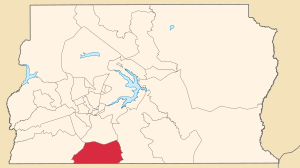
Gama (Portuguese pronunciation: [ˈɡɐ.ma]) is an administrative region in the Federal District in Brazil. It is bordered by Recanto das Emas to the north, Riacho Fundo II and Park Way to the northeast, and Santa Maria to the east.

Santa Maria, Federal District
Administrative region in Central-West, Brazil
Distance: Approx. 4610 meters
Latitude and longitude: -16.01527778,-48.01305556
Santa Maria is an administrative region in the Federal District in Brazil. Santa Maria was founded on February 10, 1991, receiving the status of administrative region, according to Law 348, of November 4, 1992.
Weather in this IP's area
scattered clouds
20 Celsius
21 Celsius
20 Celsius
24 Celsius
1012 hPa
96 %
1012 hPa
897 hPa
10000 meters
0.96 m/s
1.08 m/s
301 degree
25 %