177.67.145.190 - IP Lookup: Free IP Address Lookup, Postal Code Lookup, IP Location Lookup, IP ASN, Public IP
Country:
Region:
City:
Location:
Time Zone:
Postal Code:
IP information under different IP Channel
ip-api
Country
Region
City
ASN
Time Zone
ISP
Blacklist
Proxy
Latitude
Longitude
Postal
Route
Luminati
Country
Region
pe
City
palmares
ASN
Time Zone
America/Recife
ISP
pgf telecomunicacoes ltda
Latitude
Longitude
Postal
IPinfo
Country
Region
City
ASN
Time Zone
ISP
Blacklist
Proxy
Latitude
Longitude
Postal
Route
IP2Location
177.67.145.190Country
Region
pernambuco
City
barreiros
Time Zone
America/Recife
ISP
Language
User-Agent
Latitude
Longitude
Postal
db-ip
Country
Region
City
ASN
Time Zone
ISP
Blacklist
Proxy
Latitude
Longitude
Postal
Route
ipdata
Country
Region
City
ASN
Time Zone
ISP
Blacklist
Proxy
Latitude
Longitude
Postal
Route
Popular places and events near this IP address
Mundaú River
River in Pernambuco & Alagoas, Brazil
Distance: Approx. 9937 meters
Latitude and longitude: -8.9,-35.15
The Mundaú River is a river in northeastern Brazil. The Mundaú originates in the Borborema Plateau of Pernambuco state, and flows southeast through Pernambuco and Alagoas states to empty into the Mundaú Lagoon at Maceió, Alagoas' capital. Mundaú Lagoon is an estuary, connected to the Atlantic Ocean and Manguaba Lagoon to the south by a network of channels.

Una River (Pernambuco)
River in Pernambuco, Brazil
Distance: Approx. 7815 meters
Latitude and longitude: -8.861,-35.13
The Una River is a river of Pernambuco state in northeastern Brazil. The Una originates on the Borborema Plateau, flows east, and empties into the Atlantic Ocean near Barreiros. Its length is 290 km, and its basin area is 6,740 km2, of which 6,263 km2 in Pernambuco.
Persinunga River
River in Brazil
Distance: Approx. 9937 meters
Latitude and longitude: -8.9,-35.15
Persinunga River is a river along the border between Alagoas and Pernambuco states in eastern Brazil.
São José da Coroa Grande
Distance: Approx. 9937 meters
Latitude and longitude: -8.9,-35.15
São José da Coroa Grande (English: Saint Joseph of Crown Big) is a city in the state of Pernambuco with 21,586 inhabitants. It is southernmost city of the state on the coast section.

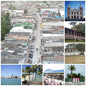
Barreiros, Pernambuco
Municipality in Pernambuco, Brazil
Distance: Approx. 85 meters
Latitude and longitude: -8.81777778,-35.18583333
Barreiros (Barriers) is a municipality in Pernambuco with 42,764 inhabitants.
Weather in this IP's area
broken clouds
26 Celsius
26 Celsius
26 Celsius
26 Celsius
1010 hPa
80 %
1010 hPa
1002 hPa
10000 meters
4.31 m/s
7.57 m/s
58 degree
68 %