170.231.246.154 - IP Lookup: Free IP Address Lookup, Postal Code Lookup, IP Location Lookup, IP ASN, Public IP
Country:
Region:
City:
Location:
Time Zone:
Postal Code:
IP information under different IP Channel
ip-api
Country
Region
City
ASN
Time Zone
ISP
Blacklist
Proxy
Latitude
Longitude
Postal
Route
Luminati
Country
Region
rs
City
torres
ASN
Time Zone
America/Sao_Paulo
ISP
RM dos Santos Informatica
Latitude
Longitude
Postal
IPinfo
Country
Region
City
ASN
Time Zone
ISP
Blacklist
Proxy
Latitude
Longitude
Postal
Route
IP2Location
170.231.246.154Country
Region
rio grande do sul
City
torres
Time Zone
America/Sao_Paulo
ISP
Language
User-Agent
Latitude
Longitude
Postal
db-ip
Country
Region
City
ASN
Time Zone
ISP
Blacklist
Proxy
Latitude
Longitude
Postal
Route
ipdata
Country
Region
City
ASN
Time Zone
ISP
Blacklist
Proxy
Latitude
Longitude
Postal
Route
Popular places and events near this IP address

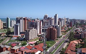
Torres, Rio Grande do Sul
City in South, Brazil
Distance: Approx. 4056 meters
Latitude and longitude: -29.32666667,-49.7675
Torres is a city on the coast of south Brazil in the state of Rio Grande do Sul. The city has a population of approximately 40,000 inhabitants, of which 10,000 live in rural zones, but in summer the number of inhabitants reaches 300,000.

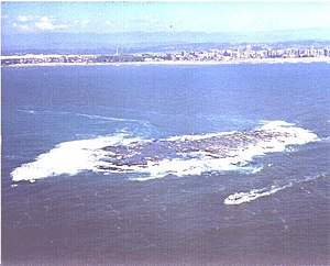
Ilha dos Lobos
Island and wildlife refuge in Rio Grande do Sul, Brazil
Distance: Approx. 2576 meters
Latitude and longitude: -29.347,-49.704
Ilha dos Lobos is a small island and wildlife refuge on the Atlantic coast of Torres, Rio Grande do Sul, Brazil.
Praia da Guarita
Beach in Rio Grande do Sul, Brazil
Distance: Approx. 1841 meters
Latitude and longitude: -29.35143056,-49.73107222
Guarita Beach is a Brazilian beach in the state of Rio Grande do Sul. It is a public resort that stretches along 23 kilometers on the coast the city of Torres. It borders with Santa Catarina and can be accessed through two roads, the BR-101 and the RS-389, which is the last road before reaching the sea.

Mampituba River
River in Brazil
Distance: Approx. 1769 meters
Latitude and longitude: -29.32555556,-49.7125
The Mampituba River is a river forming part of the boundary between Santa Catarina and Rio Grande do Sul states in southeastern Brazil.
Passo de Torres
Municipality in South, Brazil
Distance: Approx. 399 meters
Latitude and longitude: -29.335,-49.7228
Passo de Torres is a municipality in the state of Santa Catarina in the South region of Brazil.

Guarita State Park
State park in Rio Grande do Sul, Brazil
Distance: Approx. 2232 meters
Latitude and longitude: -29.354682,-49.732786
The Guarita State Park (Portuguese: Parque Estadual da Guarita), officially the Parque Estadual José Lutzenberger, is a state park in the state of Rio Grande do Sul, Brazil. It protects a promontory on the South Atlantic Ocean.

Itapeva State Park
Distance: Approx. 3805 meters
Latitude and longitude: -29.36,-49.754
The Itapeva State Park (Portuguese: Parque Estadual de Itapeva) is a state park in the state of Rio Grande do Sul, Brazil.
Canoas River (Mampituba River tributary)
River in Brazil
Distance: Approx. 9155 meters
Latitude and longitude: -29.28333333,-49.8
The Canoas River, also known as Sertão River, is a river of Santa Catarina state in southeastern Brazil. It is one of two branches formed by the Praia Grande River, which recombine to form the Mampituba.
Weather in this IP's area
clear sky
20 Celsius
20 Celsius
20 Celsius
20 Celsius
1013 hPa
84 %
1013 hPa
1014 hPa
10000 meters
2.43 m/s
3.8 m/s
172 degree
7 %
