170.0.171.15 - IP Lookup: Free IP Address Lookup, Postal Code Lookup, IP Location Lookup, IP ASN, Public IP
Country:
Region:
City:
Location:
Time Zone:
Postal Code:
ISP:
ASN:
language:
User-Agent:
Proxy IP:
Blacklist:
IP information under different IP Channel
ip-api
Country
Region
City
ASN
Time Zone
ISP
Blacklist
Proxy
Latitude
Longitude
Postal
Route
db-ip
Country
Region
City
ASN
Time Zone
ISP
Blacklist
Proxy
Latitude
Longitude
Postal
Route
IPinfo
Country
Region
City
ASN
Time Zone
ISP
Blacklist
Proxy
Latitude
Longitude
Postal
Route
IP2Location
170.0.171.15Country
Region
santa catarina
City
joacaba
Time Zone
America/Sao_Paulo
ISP
Language
User-Agent
Latitude
Longitude
Postal
ipdata
Country
Region
City
ASN
Time Zone
ISP
Blacklist
Proxy
Latitude
Longitude
Postal
Route
Popular places and events near this IP address
Joaçaba
Municipality in South, Brazil
Distance: Approx. 711 meters
Latitude and longitude: -27.17277778,-51.50083333
Joaçaba is a city situated in the state of Santa Catarina, Brazil, with approximately 30,404 inhabitants. Located in 27º10'22" S and 51º30'03" W and 516.74 m above sea level, the city was colonized in the early 20th century by German and Italian immigrants. Its industry is based on agriculture and agricultural products such as chicken and pork with China serving as a primary trade partner.

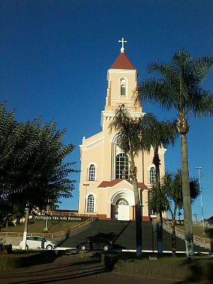
Roman Catholic Diocese of Joaçaba
Catholic ecclesiastical territory
Distance: Approx. 258 meters
Latitude and longitude: -27.1758,-51.5045
The Roman Catholic Diocese of Joaçaba (Latin: Dioecesis Ioassabensis) is located in the ecclesiastical province of Chapecó, in Santa Catarina state, Brazil. The seat of the diocese is the Cathedral of St. Therese of the Child of Jesus, Joaçaba.

Luzerna
Municipality in South, Brazil
Distance: Approx. 7813 meters
Latitude and longitude: -27.11666667,-51.46666667
Luzerna is a municipality in the state of Santa Catarina in the South region of Brazil.
Herval d'Oeste
Municipality in South, Brazil
Distance: Approx. 2008 meters
Latitude and longitude: -27.19388889,-51.495
Herval d’Oeste is a municipality in the state of Santa Catarina in the South region of Brazil.

Joaçaba Airport
Airport
Distance: Approx. 4679 meters
Latitude and longitude: -27.17277778,-51.55166667
Santa Terezinha Municipal Airport (IATA: JCB, ICAO: SSJA) is the airport serving Joaçaba, Brazil.
Weather in this IP's area
overcast clouds
25 Celsius
26 Celsius
25 Celsius
25 Celsius
1010 hPa
61 %
1010 hPa
927 hPa
10000 meters
0.45 m/s
0.46 m/s
90 degree
93 %
