168.194.248.87 - IP Lookup: Free IP Address Lookup, Postal Code Lookup, IP Location Lookup, IP ASN, Public IP
Country:
Region:
City:
Location:
Time Zone:
Postal Code:
IP information under different IP Channel
ip-api
Country
Region
City
ASN
Time Zone
ISP
Blacklist
Proxy
Latitude
Longitude
Postal
Route
Luminati
Country
Region
go
City
goiania
ASN
Time Zone
America/Sao_Paulo
ISP
CANAA TELECOMUNICACOES LTDA - ME
Latitude
Longitude
Postal
IPinfo
Country
Region
City
ASN
Time Zone
ISP
Blacklist
Proxy
Latitude
Longitude
Postal
Route
IP2Location
168.194.248.87Country
Region
goias
City
goianira
Time Zone
America/Sao_Paulo
ISP
Language
User-Agent
Latitude
Longitude
Postal
db-ip
Country
Region
City
ASN
Time Zone
ISP
Blacklist
Proxy
Latitude
Longitude
Postal
Route
ipdata
Country
Region
City
ASN
Time Zone
ISP
Blacklist
Proxy
Latitude
Longitude
Postal
Route
Popular places and events near this IP address

Caturaí
Municipality in Central-West, Brazil
Distance: Approx. 8670 meters
Latitude and longitude: -16.44666667,-49.48916667
Caturaí is a municipality in central Goiás state, Brazil. Caturaí is 32 kilometers north of Goiânia and belongs to the Anápolis Microregion. It is connected to the state capital by highway GO-070.

Goianira
Municipality in Central-West, Brazil
Distance: Approx. 1206 meters
Latitude and longitude: -16.50666667,-49.42388889
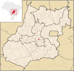
Goianira is a municipality in central Goiás state, Brazil, located 32 kilometers northwest of the state capital, Goiânia. The population was 45,296 (2020) with a total area of 200.4 km2 (10/10/2002). Goianira is becoming a major producer of shoes.

Brazabrantes
Municipality in Central-West, Brazil
Distance: Approx. 7764 meters
Latitude and longitude: -16.44111111,-49.38166667
Brazabrantes (Portuguese: [bɾazaˈbɾɐ̃tʃis]) is a municipality in central Goiás state, Brazil.
Weather in this IP's area
broken clouds
23 Celsius
23 Celsius
23 Celsius
23 Celsius
1010 hPa
70 %
1010 hPa
928 hPa
10000 meters
3.03 m/s
3.86 m/s
292 degree
65 %