Country:
 New Zealand
Region:
City:
Latitude and Longitude:
Time Zone:
Postal Code:
IP information under different IP Channel
ip-api
Country
Region
City
ASN
Time Zone
ISP
Blacklist
Proxy
Latitude
Longitude
Postal
Route
IPinfo
Country
Region
City
ASN
Time Zone
ISP
Blacklist
Proxy
Latitude
Longitude
Postal
Route
MaxMind
Country
Region
City
ASN
Time Zone
ISP
Blacklist
Proxy
Latitude
Longitude
Postal
Route
Luminati
Country
NZRegion
bop
City
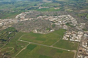
tauranga
ASN
Time Zone
Pacific/Auckland
ISP
Two Degrees Networks Limited
Latitude
Longitude
Postal
db-ip
Country
Region
City
ASN
Time Zone
ISP
Blacklist
Proxy
Latitude
Longitude
Postal
Route
ipdata
Country
Region
City
ASN
Time Zone
ISP
Blacklist
Proxy
Latitude
Longitude
Postal
Route
Popular places and events near this IP address

Halswell
Suburb of Christchurch, New Zealand
Distance: Approx. 738 meters
Latitude and longitude: -43.58333333,172.56666667
Originally a separate village, Halswell is now a residential suburb of Christchurch, New Zealand, located 9 kilometres (5.6 mi) southwest of Cathedral Square on State Highway 75.
Wigram
Suburb of Christchurch, New Zealand
Distance: Approx. 3112 meters
Latitude and longitude: -43.5533,172.5584
Wigram is a suburb in the southwest of Christchurch, New Zealand. The suburb lies close to the industrial estates of Sockburn and the satellite retail and residential zone of Hornby, and has undergone significant growth in recent years due to housing developments. It is seven kilometres to the west of the city centre.
Westmorland, New Zealand
Suburb of Christchurch, New Zealand
Distance: Approx. 2345 meters
Latitude and longitude: -43.5801,172.60263
Westmorland is an outer suburb of Christchurch, New Zealand. It is situated mostly on a hillside and is a recent development of the city, dating back to the late 1970s. It is still under development, with the end of Pentonville Close being recently settled with modern family homes typical of middle to upper-middle class New Zealanders, predominantly in the usual bungalow style, called Worsley Estate.
Hoon Hay
Suburb of Christchurch, New Zealand
Distance: Approx. 3120 meters
Latitude and longitude: -43.56666667,172.60833333
Hoon Hay is an outer suburb of Christchurch, New Zealand, located at the base of the Port Hills and about 5 kilometres (3.1 miles) southwest of Cathedral Square. The area was named by Captain Wickham Talbot Harvey, a captain of the British Royal 10th Hussars, who moved to the area in 1852 and named it after the farm in Hoon, Derbyshire where he grew up. Harvey only stayed in the area for four years, before a fire destroyed his property and prompted him to return to the United Kingdom.
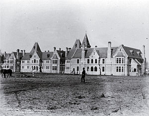
Marylands School
Residential school in Christchurch, New Zealand
Distance: Approx. 1961 meters
Latitude and longitude: -43.56170278,172.56898056
Marylands School was a residential school for children with learning difficulties in Christchurch, New Zealand. It was opened in 1955 and run by the Roman Catholic order Brothers Hospitallers of St. John of God.

Aidanfield
Suburb of Christchurch, New Zealand
Distance: Approx. 1602 meters
Latitude and longitude: -43.565,172.569
Aidanfield is a suburb in the south-west of Christchurch, New Zealand, about 8 kilometres (5.0 mi) from the city centre. The land, which had been owned by the Good Shepherd Sisters since 1886, now incorporates the Mount Magdala Institute and the St John of God Chapel, which has a Category I heritage listing by the New Zealand Historic Places Trust (now Heritage New Zealand). The first residents moved into the suburb in 2002.

Cracroft, New Zealand
Distance: Approx. 3478 meters
Latitude and longitude: -43.58055556,172.61666667
Cracroft is a south-west suburb of Christchurch, Canterbury, New Zealand. Cracroft was named for John Cracroft Wilson, who settled in this part of Christchurch at the bottom of the Port Hills Range in 1854. The Cracroft Residents' Association started lobbying for Cracroft to become a suburb in 1993, and the New Zealand Geographic Board gazetted the suburb in 1999, splitting the area from Cashmere.
Kennedys Bush
Suburb in Christchurch, New Zealand
Distance: Approx. 2777 meters
Latitude and longitude: -43.603,172.583
Kennedys Bush is a south-western suburb of Christchurch, New Zealand.
Hillmorton, New Zealand
Suburb of Christchurch, New Zealand
Distance: Approx. 3034 meters
Latitude and longitude: -43.555231,172.591994
Hillmorton is a suburb of south-western Christchurch, New Zealand. The suburb is centred around the intersection of Lincoln Road and Hoon hay Road, two arterial routes which form part of State Highway 75 and feed into the Christchurch Southern Motorway which runs to the north of the suburb.

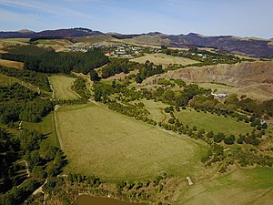
Halswell Quarry Park
Former quarry in Canterbury, New Zealand
Distance: Approx. 2460 meters
Latitude and longitude: -43.60083333,172.57833333
Halswell Quarry operated between 1861 and 1990 before becoming the 60.4 hectares (149 acres) Halswell Quarry Park, one of many Christchurch City Council reserves. It offers a combination of walking and mountain biking tracks, historic sites, picnic areas, botanical collections, and six sister city gardens.
Oaklands, New Zealand
Suburb of Christchurch, New Zealand
Distance: Approx. 1607 meters
Latitude and longitude: -43.571,172.557
Oaklands is a southern suburb of Christchurch, New Zealand. The area is predominantly residential. When Halswell House was purchased by Peter Watson (1869?–1947), he renamed it Oaklands after the trees lining the driveway.
Ngā Puna Wai Sports Hub
Sports complex in Christchurch, New Zealand
Distance: Approx. 2343 meters
Latitude and longitude: -43.558,172.5755
Ngā Puna Wai Sports Hub is a multi-sports complex located in the suburb of Aidanfield in the city of Christchurch, in New Zealand's South Island. The complex contains international standard sports facilities and was developed using a partnership between Christchurch City Council and regional sports organisations. Ngā Puna Wai Sports Hub was officially opened on 8 March 2019.
Weather in this IP's area
broken clouds
3 Celsius
-2 Celsius
2 Celsius
3 Celsius
996 hPa
93 %
996 hPa
994 hPa
10000 meters
7.2 m/s
230 degree
75 %
06:28:27
18:20:18