Country:
 Netherlands
Region:
City:
Latitude and Longitude:
Time Zone:
Postal Code:
IP information under different IP Channel
ip-api
Country
Region
City
ASN
Time Zone
ISP
Blacklist
Proxy
Latitude
Longitude
Postal
Route
IPinfo
Country
Region
City
ASN
Time Zone
ISP
Blacklist
Proxy
Latitude
Longitude
Postal
Route
MaxMind
Country
Region
City
ASN
Time Zone
ISP
Blacklist
Proxy
Latitude
Longitude
Postal
Route
Luminati
Country
NLRegion
ov
City
marienheem
ASN
Time Zone
Europe/Amsterdam
ISP
DELTA Fiber Nederland B.V.
Latitude
Longitude
Postal
db-ip
Country
Region
City
ASN
Time Zone
ISP
Blacklist
Proxy
Latitude
Longitude
Postal
Route
ipdata
Country
Region
City
ASN
Time Zone
ISP
Blacklist
Proxy
Latitude
Longitude
Postal
Route
Popular places and events near this IP address

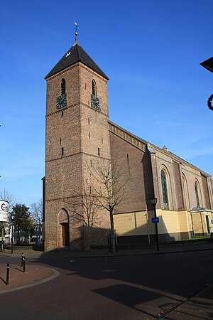
Raalte
Municipality in Overijssel, Netherlands
Distance: Approx. 3361 meters
Latitude and longitude: 52.38333333,6.26666667
Raalte (Dutch pronunciation: [ˈraːltə] ) is a municipality and a town in the heart of the region of Salland in the Dutch province of Overijssel.
Heino, Netherlands
Village in Overijssel, Netherlands
Distance: Approx. 8166 meters
Latitude and longitude: 52.43583333,6.23388889
Heino is a village in the province of Overijssel in the Netherlands. It belongs to the municipality of Raalte and it has 7,080 inhabitants (January 2018). The village has a railway station along the railway Zwolle - Enschede and it can also be reached by the road N35.
Heino railway station
Railway station in the Netherlands
Distance: Approx. 8099 meters
Latitude and longitude: 52.42694444,6.22194444
Heino is a railway station located in Heino, Netherlands. The station was opened on 1 January 1881 and is located on the Zwolle–Almelo railway. The station lies outside of Heino, but can be reached by bus.
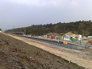
Nijverdal West railway station
Railway station in the Netherlands
Distance: Approx. 9261 meters
Latitude and longitude: 52.36777778,6.45027778
Nijverdal West was a temporary railway station located in Nijverdal, the Netherlands. The station was located on the Zwolle–Almelo railway and opened on 14 December 2009. It closed on 3 March 2013.

Raalte railway station
Railway station in the Netherlands
Distance: Approx. 2718 meters
Latitude and longitude: 52.39083333,6.27861111
Raalte is a railway station located in Raalte, Netherlands. The station originally opened on 1 January 1881 and is located on the Zwolle–Almelo railway. The train services are currently operated by Keolis Nederland.
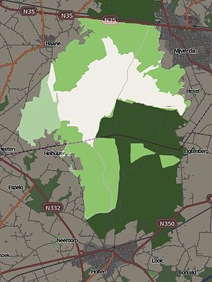
Sallandse Heuvelrug National Park
Protected area in the Netherlands
Distance: Approx. 8744 meters
Latitude and longitude: 52.33333333,6.41666667
Sallandse Heuvelrug National Park is a national park in the Dutch province of Overijssel, located between the townships of Hellendoorn and Holten. In 2004, the Dutch Government changed the status of the area to National Park. The park is mainly managed by Staatsbosbeheer, Natuurmonumenten and the water company Vitens.

Lemelerveld
Village in Overijssel, Netherlands
Distance: Approx. 7200 meters
Latitude and longitude: 52.4453,6.3401
Lemelerveld (also: Sukerbietndorp) is a village in the municipality of Dalfsen in the province of Overijssel, Netherlands. The village developed around a sugar beet factory.
Weather in this IP's area
overcast clouds
16 Celsius
16 Celsius
16 Celsius
17 Celsius
998 hPa
94 %
998 hPa
997 hPa
10000 meters
0.45 m/s
46 degree
100 %
07:48:06
18:56:00