146.158.203.91 - IP Lookup: Free IP Address Lookup, Postal Code Lookup, IP Location Lookup, IP ASN, Public IP
Country:
Region:
City:
Location:
Time Zone:
Postal Code:
IP information under different IP Channel
ip-api
Country
Region
City
ASN
Time Zone
ISP
Blacklist
Proxy
Latitude
Longitude
Postal
Route
Luminati
Country
Region
an
City
loja
ASN
Time Zone
Europe/Madrid
ISP
Orange Espagne SA
Latitude
Longitude
Postal
IPinfo
Country
Region
City
ASN
Time Zone
ISP
Blacklist
Proxy
Latitude
Longitude
Postal
Route
IP2Location
146.158.203.91Country
Region
andalucia
City
huetor-tajar
Time Zone
Europe/Madrid
ISP
Language
User-Agent
Latitude
Longitude
Postal
db-ip
Country
Region
City
ASN
Time Zone
ISP
Blacklist
Proxy
Latitude
Longitude
Postal
Route
ipdata
Country
Region
City
ASN
Time Zone
ISP
Blacklist
Proxy
Latitude
Longitude
Postal
Route
Popular places and events near this IP address

Moraleda de Zafayona
Town in Granada, Spain
Distance: Approx. 7940 meters
Latitude and longitude: 37.16666667,-3.96666667
Moraleda de Zafayona is a municipality located in the province of Granada, Spain. According to the 2004 census (INE), the town's population was 2769. It is mainly a farming community with ancillary trades and workshops.

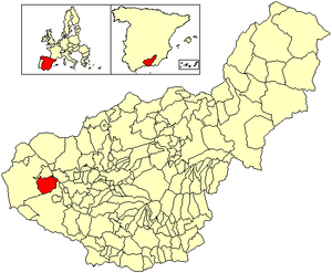
Loja, Granada
Municipality in Andalusia, Spain
Distance: Approx. 9799 meters
Latitude and longitude: 37.16666667,-4.15
Loja (Spanish pronunciation: [ˈloxa]), formerly Loxa, is a town in southern Spain, situated at the western limit of the province of Granada. It is in the valley of the River Genil, overlooked by the so-called Sierra de Loja, of which the highest peak, Sierra Gorda, stands 1,671 metres above sea-level.

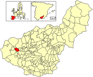
Huétor-Tájar
Place in Granada, Spain
Distance: Approx. 401 meters
Latitude and longitude: 37.19472222,-4.04638889
Huétor-Tájar (or Huétor Tájar) is a municipality and town located in the province of Granada (Andalusia), in the southern Spain. It is situated 43 km west of the city of Granada, and its population in 2007 was 9,467. The municipality's extension is close to 40 km2.

Salar, Spain
Place in Andalusia, Spain
Distance: Approx. 5804 meters
Latitude and longitude: 37.14888889,-4.06777778
Salar is a municipality in the province of Granada, Spain.

Villanueva Mesía
Place in Andalusia, Spain
Distance: Approx. 3632 meters
Latitude and longitude: 37.21416667,-4.01111111
Villanueva Mesía is a municipality in the province of Granada, Spain. In 2010, it had a population of 2,158 inhabitants.

Cacín River
River in Andalusia, Spain
Distance: Approx. 3035 meters
Latitude and longitude: 37.21209,-4.01737
The Cacín River (Spanish: Río Cacín) is a river in Andalusia, Spain. It is supplied by streams flowing north from the Sierra de Almijara and Sierra de Tejeda into the Granada Basin. The river originates in the Los Bermejales Reservoir, and flows north to join the Genil river.
Weather in this IP's area
clear sky
9 Celsius
9 Celsius
8 Celsius
9 Celsius
1026 hPa
55 %
1026 hPa
968 hPa
10000 meters
1 m/s
1.05 m/s
99 degree