Country:
Region:
City:
Latitude and Longitude:
Time Zone:
Postal Code:
IP information under different IP Channel
ip-api
Country
Region
City
ASN
Time Zone
ISP
Blacklist
Proxy
Latitude
Longitude
Postal
Route
Luminati
Country
Region
cnn
City
ondjiva
ASN
Time Zone
Africa/Luanda
ISP
UNITEL
Latitude
Longitude
Postal
IPinfo
Country
Region
City
ASN
Time Zone
ISP
Blacklist
Proxy
Latitude
Longitude
Postal
Route
db-ip
Country
Region
City
ASN
Time Zone
ISP
Blacklist
Proxy
Latitude
Longitude
Postal
Route
ipdata
Country
Region
City
ASN
Time Zone
ISP
Blacklist
Proxy
Latitude
Longitude
Postal
Route
Popular places and events near this IP address
Ondjiva
Commune in Cunene, Angola
Distance: Approx. 327 meters
Latitude and longitude: -17.06666667,15.73333333
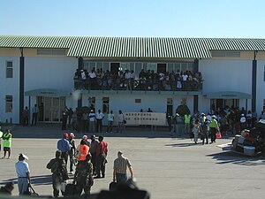
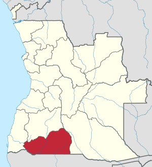
Ondjiva, formerly Vila Pereira d'Eça, is a town, with a population of 121,537 (2014), and a commune in the municipality of Cuanhama, province of Cunene, Angola. It is also the administrative capital of Cunene Province and is located at the extreme south of the country, about 42 kilometres (26 mi) from the border with Namibia. It was traditionally the seat of the Ovambo king of the Oukwanyama tribe.

Ondjiva Pereira Airport
Airport in Angola
Distance: Approx. 5981 meters
Latitude and longitude: -17.04305556,15.68333333
Ondjiva Pereira Airport (IATA: VPE, ICAO: FNGI) is an airport serving Ondjiva (alternate spellings: Ongiva, Ngiva, N'giva) in Cunene Province, Angola. The airport is 38 kilometres (24 mi) north of the Namibian border. The N'giva non-directional beacon (Ident: GI) is located on the field.

Roman Catholic Diocese of Ondjiva
Roman Catholic diocese in Angola
Distance: Approx. 950 meters
Latitude and longitude: -17.0665,15.7264
The Roman Catholic Diocese of Ondjiva (Latin: Dioecesis Ondiivanus) is a diocese located in the city of Ondjiva in the ecclesiastical province of Lubango in Angola.
Weather in this IP's area
overcast clouds
34 Celsius
32 Celsius
34 Celsius
34 Celsius
1004 hPa
21 %
1004 hPa
889 hPa
10000 meters
2.47 m/s
4.21 m/s
41 degree
100 %
05:14:09
18:10:17