Country:
 South Korea
Region:
City:
Latitude and Longitude:
Time Zone:
Postal Code:
IP information under different IP Channel
ip-api
Country
Region
City
ASN
Time Zone
ISP
Blacklist
Proxy
Latitude
Longitude
Postal
Route
IPinfo
Country
Region
City
ASN
Time Zone
ISP
Blacklist
Proxy
Latitude
Longitude
Postal
Route
MaxMind
Country
Region
City
ASN
Time Zone
ISP
Blacklist
Proxy
Latitude
Longitude
Postal
Route
Luminati
Country
KRRegion
11
City
jungnanggu
ASN
Time Zone
Asia/Seoul
ISP
DLIVE
Latitude
Longitude
Postal
db-ip
Country
Region
City
ASN
Time Zone
ISP
Blacklist
Proxy
Latitude
Longitude
Postal
Route
ipdata
Country
Region
City
ASN
Time Zone
ISP
Blacklist
Proxy
Latitude
Longitude
Postal
Route
Popular places and events near this IP address

Sagajeong station
Distance: Approx. 2076 meters
Latitude and longitude: 37.58083333,127.08833333
Sagajeong Station is a station on the Seoul Subway Line 7.

Yongmasan station
Station of the Seoul Metropolitan Subway
Distance: Approx. 2710 meters
Latitude and longitude: 37.57361111,127.08666667
Yongmasan Station is a station on the Seoul Subway Line 7.

Myeonmok station
Metro station in Jungnang-gu, Seoul, South Korea
Distance: Approx. 1822 meters
Latitude and longitude: 37.58861111,127.0875
Myeonmok Station is a station on the Seoul Subway Line 7.

Sangbong Station
Train station in Seoul, South Korea
Distance: Approx. 2013 meters
Latitude and longitude: 37.59557,127.08576
Sangbong Station is a station on Seoul Subway Line 7, the Gyeongchun Line and the Gyeongui–Jungang Line. It is located in Sangbong-dong, Jungnang-gu, Seoul.

Jungnang District
Autonomous district in Seoul, South Korea
Distance: Approx. 2164 meters
Latitude and longitude: 37.6064,127.0926
Jungnang District (Jungnang-gu) is one of the 25 gu, or districts, of Seoul, South Korea. It is located on the north side of the Han River. It is characterized by a typical residential area with many natural green areas such as Yongma, Mangwoo, and Bonghwasan Mountain.
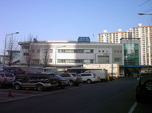
Jungnang station
Train station in South Korea
Distance: Approx. 2791 meters
Latitude and longitude: 37.59496,127.07662
Jungnang Station is a station on the Gyeongui–Jungang Line and the Gyeongchun Line. This station was given this name because the Jungnang River, a tributary of the Han River, flows to the west of this station, and also because it is located in the Jungnang-gu district.
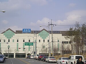
Mangu Station
Train station in Jungnang-gu, Seoul, South Korea
Distance: Approx. 1635 meters
Latitude and longitude: 37.5992,127.09235
Mangu Station is a station on the Gyeongui–Jungang Line, and the Gyeongchun Line since 21 December 2010. The station was Seoul's main distribution center of charcoal briquettes in the 1950s and 1960s, extracted and manufactured in southern Gangwon province. These briquettes were widely used by people to weather harsh winters when Korea was a developing country and recovering from the Korean War.
Yangwon Station
Station of the Seoul Metropolitan Subway
Distance: Approx. 1708 meters
Latitude and longitude: 37.60654,127.10789
Yangwon Station is a station on the Gyeongui–Jungang Line. Geographically, it is the easternmost train/metro station in Seoul north of the Han River.

Yongmabong
Mountain in Seoul, South Korea
Distance: Approx. 2449 meters
Latitude and longitude: 37.57128,127.09611
Yongmabong (Korean: 용마봉) is a mountain in Seoul, South Korea. It extends across Guui-dong and Junggok-dong in the district of Gwangjin-gu. It has an elevation of 348 m (1,142 ft).
GS Champions Park
Football training center in Guri, South Korea
Distance: Approx. 2823 meters
Latitude and longitude: 37.56748,127.11923
The GS Champions Park is the training center of FC Seoul. It is located in Guri, east of nearby Seoul. In 1983, it was built by GS Sports, then known as Lucky-Goldstar Sports.
Daeyang Gallery and House
Building in Seoul, South Korea
Distance: Approx. 2770 meters
Latitude and longitude: 37.59291,127.07657
The Daeyang Gallery and House, designed by Steven Holl Architects, is located in the Kangbuk neighborhood of Seoul, South Korea. The geometry of the roof plan was inspired by a 1967 sketch for a music score by Hungarian composer István Anhalt. Three pavilion, one for entry, one event space, and one residential, are separated by a reflecting pool.
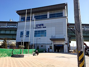
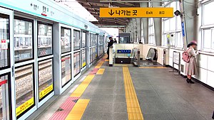
Sinnae Station
Station of the Seoul Metropolitan Subway
Distance: Approx. 2451 meters
Latitude and longitude: 37.6129,127.1032
Sinnae station (Korean: 신내역; Hanja: 新內驛) is a railway station on the Gyeongchun Line and Seoul Subway Line 6. The station is located near the Sinnae train depot, which is the depot of Line 6. Line 6 currently only has 1 track and 1 platform, however, in the future, the Line 6 station will be expanded to 2 tracks and 2 platforms.
Weather in this IP's area
overcast clouds
17 Celsius
17 Celsius
15 Celsius
17 Celsius
1013 hPa
91 %
1013 hPa
994 hPa
10000 meters
1.68 m/s
3.63 m/s
346 degree
91 %
06:43:18
17:49:26