Country:
 Switzerland
Region:
City:
Latitude and Longitude:
Time Zone:
Postal Code:
IP information under different IP Channel
ip-api
Country
Region
City
ASN
Time Zone
ISP
Blacklist
Proxy
Latitude
Longitude
Postal
Route
IPinfo
Country
Region
City
ASN
Time Zone
ISP
Blacklist
Proxy
Latitude
Longitude
Postal
Route
MaxMind
Country
Region
City
ASN
Time Zone
ISP
Blacklist
Proxy
Latitude
Longitude
Postal
Route
Luminati
Country
CHRegion
zh
City
dietikon
ASN
Time Zone
Europe/Zurich
ISP
green.ch AG
Latitude
Longitude
Postal
db-ip
Country
Region
City
ASN
Time Zone
ISP
Blacklist
Proxy
Latitude
Longitude
Postal
Route
ipdata
Country
Region
City
ASN
Time Zone
ISP
Blacklist
Proxy
Latitude
Longitude
Postal
Route
Popular places and events near this IP address

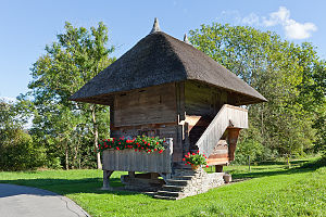
Schlossrued
Municipality in Aargau, Switzerland
Distance: Approx. 1519 meters
Latitude and longitude: 47.3,8.1
Schlossrued is a municipality in the district of Kulm in the canton of Aargau in Switzerland.

Swissair Flight 306
1963 aviation accident
Distance: Approx. 3803 meters
Latitude and longitude: 47.32472222,8.15916667
Swissair Flight 306, a Sud Aviation SE-210 Caravelle III, named Schaffhausen, was a scheduled international flight from Zürich to Rome, via Geneva. It crashed near Dürrenäsch, Aargau, on 4 September 1963, shortly after take-off, killing all 80 people on board.
Kulm District
District in Switzerland
Distance: Approx. 1519 meters
Latitude and longitude: 47.3,8.1
Kulm District is a district in the canton of Aargau, Switzerland. It is located west of Lake Hallwil and covers parts of the Wyna and Suhre valleys. The principal town is Unterkulm; the largest municipality is Reinach.

Dürrenäsch
Municipality in Aargau, Switzerland
Distance: Approx. 2838 meters
Latitude and longitude: 47.31666667,8.15
Dürrenäsch is a municipality in the district of Kulm in the canton of Aargau in Switzerland.
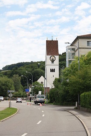
Oberkulm
Municipality in Aargau, Switzerland
Distance: Approx. 1135 meters
Latitude and longitude: 47.3,8.11666667
Oberkulm is a municipality in the district of Kulm, in the canton of Aargau in Switzerland.
Teufenthal
Municipality in Aargau, Switzerland
Distance: Approx. 2607 meters
Latitude and longitude: 47.33333333,8.11666667
Teufenthal is a municipality in the district of Kulm in the canton of Aargau in Switzerland.
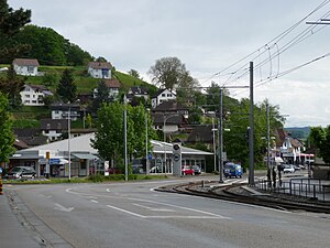
Unterkulm
Municipality in Aargau, Switzerland
Distance: Approx. 775 meters
Latitude and longitude: 47.31666667,8.11666667
Unterkulm is a municipality in the district of Kulm in the canton of Aargau in Switzerland.
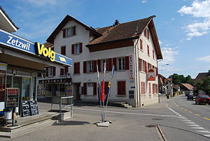
Zetzwil
Municipality in Aargau, Switzerland
Distance: Approx. 4040 meters
Latitude and longitude: 47.28333333,8.15
Zetzwil is a municipality in the district of Kulm in the canton of Aargau in Switzerland.

Bööler Pass
Mountain pass in the canton of Aargau in Switzerland
Distance: Approx. 2255 meters
Latitude and longitude: 47.307271,8.084093
Bööler Pass (el. 611 m.) is a mountain pass in the canton of Aargau in Switzerland. It connects Unterkulm and Schöftland.

Bleien Radio Observatory
Observatory
Distance: Approx. 3351 meters
Latitude and longitude: 47.34,8.11
Bleien Radio Observatory is a radio astronomy observatory located halfway between Zürich and Bern in Switzerland. Its focus is on large bandwidth radio spectroscopy. The observatory is near the village of Bleien, 5 km south of Gränichen in the Canton of Aargau.

Liebegg Castle
Castle in Gränichen, Aargau
Distance: Approx. 2943 meters
Latitude and longitude: 47.3363,8.1177
Liebegg Castle is a small castle in the municipality of Gränichen in the canton of Aargau in Switzerland. It is located on a outcropping about 70 meters (230 ft) above the Wynental valley floor. The current castle grew out of a medieval castle.

Trostburg Castle
Castle in Teufenthal, Aargau, Switzerland
Distance: Approx. 2359 meters
Latitude and longitude: 47.33093889,8.11846944
Trostburg Castle is a small castle in the municipality of Teufenthal in the canton of Aargau in Switzerland.
Weather in this IP's area
few clouds
17 Celsius
18 Celsius
16 Celsius
19 Celsius
1019 hPa
93 %
1019 hPa
965 hPa
10000 meters
0.87 m/s
0.88 m/s
95 degree
15 %
06:03:43
21:04:02