Country:
 Romania
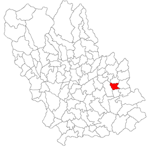
Region:
City:
Latitude and Longitude:
Time Zone:
Postal Code:
IP information under different IP Channel
ip-api
Country
Region
City
ASN
Time Zone
ISP
Blacklist
Proxy
Latitude
Longitude
Postal
Route
IPinfo
Country
Region
City
ASN
Time Zone
ISP
Blacklist
Proxy
Latitude
Longitude
Postal
Route
MaxMind
Country
Region
City
ASN
Time Zone
ISP
Blacklist
Proxy
Latitude
Longitude
Postal
Route
Luminati
Country
ROASN
Time Zone
Europe/Bucharest
ISP
Pro Active Computers SRL
Latitude
Longitude
Postal
db-ip
Country
Region
City
ASN
Time Zone
ISP
Blacklist
Proxy
Latitude
Longitude
Postal
Route
ipdata
Country
Region
City
ASN
Time Zone
ISP
Blacklist
Proxy
Latitude
Longitude
Postal
Route
Popular places and events near this IP address

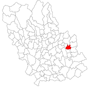
Mizil
Town in Prahova, Romania
Distance: Approx. 2002 meters
Latitude and longitude: 45,26.44055556
Mizil (Romanian pronunciation: [miˈzil]) is a town in Prahova County, Muntenia, Romania. Located in the southeastern part of the county, it lies along the road between the cities of Ploiești and Buzău, and to the northeast of the national capital, Bucharest. Its position led it to become a thriving market town beginning in the 18th century, before a long period of economic decline began in the early 20th century.

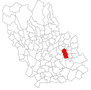
Baba Ana
Commune in Prahova, Romania
Distance: Approx. 5570 meters
Latitude and longitude: 44.96666667,26.45
Baba Ana is a commune in Prahova County, Muntenia, Romania. It is composed of five villages: Baba Ana, Cireșanu, Conduratu, Crângurile, and Satu Nou. The commune lies in the Wallachian Plain, on the banks of the river Ghighiu.
Călugăreni, Prahova
Commune in Prahova, Romania
Distance: Approx. 9084 meters
Latitude and longitude: 45.08333333,26.38333333
Călugăreni is a commune in Prahova County, Muntenia, Romania. It is composed of two villages, Călugăreni and Valea Scheilor.
Ceptura
Commune in Prahova, Romania
Distance: Approx. 9181 meters
Latitude and longitude: 45.01666667,26.33333333
Ceptura is a commune in Prahova County, Muntenia, Romania. It is composed of five villages: Ceptura de Jos (the commune centre), Ceptura de Sus, Malu Roșu, Rotari, and Șoimești. The open-pit Ceptura Coal Mine (opened in 1954) is located in Ceptura de Sus.
Fântânele, Prahova
Commune in Prahova, Romania
Distance: Approx. 5566 meters
Latitude and longitude: 45,26.38333333
Fântânele is a commune in Prahova County, Muntenia, Romania. It is composed of two villages, Bozieni and Fântânele. It also included Ghinoaica, Ungureni and Vadu Săpat villages until 2004, when they were split off to form Vadu Săpat commune.

Săhăteni
Commune in Buzău, Romania
Distance: Approx. 5563 meters
Latitude and longitude: 45.03333333,26.51666667
Săhăteni is a commune in Buzău County, Muntenia, Romania. It is composed of four villages: Găgeni, Istrița de Jos, Săhăteni and Vintileanca. It is known for its vineyards, being located in the Dealu Mare hills region, close to Pietroasele and Valea Călugărească.

Năeni
Commune in Buzău, Romania
Distance: Approx. 9636 meters
Latitude and longitude: 45.1,26.48333333
Năeni is a commune in Buzău County, Muntenia, Romania. It is composed of five villages: Fântânele, Fințești, Năeni, Proșca and Vârf.
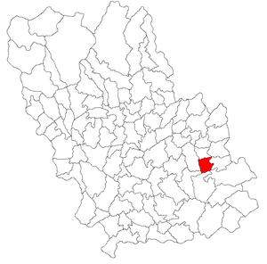
Tohăneanca
River in Romania
Distance: Approx. 1347 meters
Latitude and longitude: 45.0046,26.4502
The Tohăneanca is a right tributary of the river Ghighiu in Romania. It flows into the Ghighiu in Mizil. Its length is 20 km (12 mi) and its basin size is 63 km2 (24 sq mi).
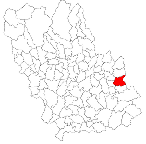
Gura Vadului
Commune in Prahova, Romania
Distance: Approx. 3932 meters
Latitude and longitude: 45.05,26.46666667
Gura Vadului is a commune in Prahova County, Muntenia, Romania. It is composed of three villages: Gura Vadului, Perșunari and Tohani.
Vadu Săpat
Commune in Prahova, Romania
Distance: Approx. 5563 meters
Latitude and longitude: 45.03333333,26.38333333
Vadu Săpat is a commune in Prahova County, Muntenia, Romania. It is composed of three villages: Ghinoaica, Ungureni, and Vadu Săpat. Until 2004, these belonged to Fântânele Commune, when they were split off to form a separate commune.
Weather in this IP's area
clear sky
33 Celsius
31 Celsius
32 Celsius
33 Celsius
1015 hPa
30 %
1015 hPa
1000 hPa
10000 meters
3.05 m/s
4.55 m/s
192 degree
05:55:08
20:46:01