Country:
 Brazil
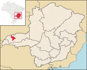
Region:
City:
Latitude and Longitude:
Time Zone:
Postal Code:
IP information under different IP Channel
ip-api
Country
Region
City
ASN
Time Zone
ISP
Blacklist
Proxy
Latitude
Longitude
Postal
Route
IPinfo
Country
Region
City
ASN
Time Zone
ISP
Blacklist
Proxy
Latitude
Longitude
Postal
Route
MaxMind
Country
Region
City
ASN
Time Zone
ISP
Blacklist
Proxy
Latitude
Longitude
Postal
Route
Luminati
Country
BRRegion
mg
City
barbacena
ASN
Time Zone
America/Sao_Paulo
ISP
AMERICAN TOWER DO BRASIL-COMUNICACAO MULTIMIDIA LT
Latitude
Longitude
Postal
db-ip
Country
Region
City
ASN
Time Zone
ISP
Blacklist
Proxy
Latitude
Longitude
Postal
Route
ipdata
Country
Region
City
ASN
Time Zone
ISP
Blacklist
Proxy
Latitude
Longitude
Postal
Route
Popular places and events near this IP address
Ituiutaba
City and municipality in the state of Minas Gerais state, Brazil
Distance: Approx. 304 meters
Latitude and longitude: -18.96666667,-49.46666667
Ituiutaba (Brazilian Portuguese: /itujuˈtabɐ/) is a municipality in the western part of the state of Minas Gerais, Brazil. Elevated to city status in 1901, its population in 2020 was 105,255 and a total area in the municipality of 2,694 km2. The elevation of the seat of the municipality is 544 m.
St. Joseph's Cathedral, Ituiutaba
Church in Ituiutaba, Brazil
Distance: Approx. 87 meters
Latitude and longitude: -18.9691,-49.4642
The Cathedral of Saint Joseph (Portuguese: Catedral São José) or simply Ituiutaba Cathedral is a parish of the Roman Catholic Church in Ituiutaba, Minas Gerais, Brazil. Consecrated to Saint Joseph, it is the episcopal seat of the Roman Catholic Diocese of Ituiutaba. Settlement of the area began around 1820.
Weather in this IP's area
clear sky
21 Celsius
20 Celsius
21 Celsius
21 Celsius
1019 hPa
37 %
1019 hPa
956 hPa
10000 meters
2.06 m/s
2.04 m/s
80 degree
06:47:27
18:01:01