Country:
 Brazil
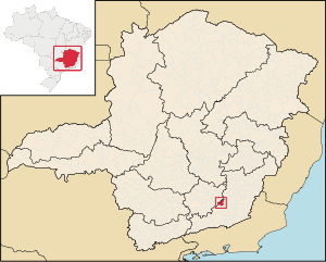
Region:
City:
Latitude and Longitude:
Time Zone:
Postal Code:
IP information under different IP Channel
ip-api
Country
Region
City
ASN
Time Zone
ISP
Blacklist
Proxy
Latitude
Longitude
Postal
Route
IPinfo
Country
Region
City
ASN
Time Zone
ISP
Blacklist
Proxy
Latitude
Longitude
Postal
Route
MaxMind
Country
Region
City
ASN
Time Zone
ISP
Blacklist
Proxy
Latitude
Longitude
Postal
Route
Luminati
Country
BRRegion
mg
City
alfredovasconcelos
ASN
Time Zone
America/Sao_Paulo
ISP
AMERICAN TOWER DO BRASIL-COMUNICACAO MULTIMIDIA LT
Latitude
Longitude
Postal
db-ip
Country
Region
City
ASN
Time Zone
ISP
Blacklist
Proxy
Latitude
Longitude
Postal
Route
ipdata
Country
Region
City
ASN
Time Zone
ISP
Blacklist
Proxy
Latitude
Longitude
Postal
Route
Popular places and events near this IP address

Aracitaba
Place in Southeast Region, Brazil
Distance: Approx. 8488 meters
Latitude and longitude: -21.34277778,-43.37777778
Aracitaba is a Brazilian municipality located in the state of Minas Gerais. Its population as of 2020 is estimated to be 2,059 people living in a total area of 105,885 km². The city belongs to the mesoregion of Zona da Mata and to the microregion of Juiz de Fora.
Mercês, Minas Gerais
Town and municipality in the state of Minas Gerais, Brazil
Distance: Approx. 9226 meters
Latitude and longitude: -21.19388889,-43.34083333
Mercês is a Brazilian municipality located in the state of Minas Gerais. The city belongs to the mesoregion of Zona da Mata and to the microregion of Ubá. As of 2020, the estimated population was 10,758.
Paiva, Minas Gerais
Municipality in Southeast, Brazil
Distance: Approx. 5072 meters
Latitude and longitude: -21.3,-43.41666667
Paiva, Minas Gerais is a municipality in the state of Minas Gerais in the Southeast region of Brazil.
Weather in this IP's area
few clouds
26 Celsius
26 Celsius
26 Celsius
26 Celsius
1018 hPa
27 %
1018 hPa
953 hPa
10000 meters
2.18 m/s
3.51 m/s
44 degree
20 %
06:27:04
17:32:46