Country:
 France
Region:
City:
Latitude and Longitude:
Time Zone:
Postal Code:
IP information under different IP Channel
ip-api
Country
Region
City
ASN
Time Zone
ISP
Blacklist
Proxy
Latitude
Longitude
Postal
Route
IPinfo
Country
Region
City
ASN
Time Zone
ISP
Blacklist
Proxy
Latitude
Longitude
Postal
Route
MaxMind
Country
Region
City
ASN
Time Zone
ISP
Blacklist
Proxy
Latitude
Longitude
Postal
Route
Luminati
Country
FRASN
Time Zone
Europe/Paris
ISP
Ses Astra S.A.
Latitude
Longitude
Postal
db-ip
Country
Region
City
ASN
Time Zone
ISP
Blacklist
Proxy
Latitude
Longitude
Postal
Route
ipdata
Country
Region
City
ASN
Time Zone
ISP
Blacklist
Proxy
Latitude
Longitude
Postal
Route
Popular places and events near this IP address

Balleray
Part of Vaux d'Amognes in Bourgogne-Franche-Comté, France
Distance: Approx. 6040 meters
Latitude and longitude: 47.0747,3.2794
Balleray (French pronunciation: [balʁɛ]) is a former commune in the Nièvre department in central France. On 1 January 2017, it was merged into the new commune Vaux d'Amognes.
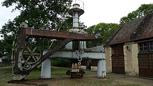
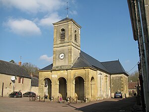
Guérigny
Commune in Bourgogne-Franche-Comté, France
Distance: Approx. 524 meters
Latitude and longitude: 47.0886,3.1953
Guérigny (French pronunciation: [ɡeʁiɲi]) is a commune in the Nièvre department in central France.

Ourouër
Part of Vaux d'Amognes in Bourgogne-Franche-Comté, France
Distance: Approx. 8526 meters
Latitude and longitude: 47.0594,3.3067
Ourouër is a former commune in the Nièvre department in central France. On 1 January 2017, it was merged into the new commune Vaux d'Amognes.

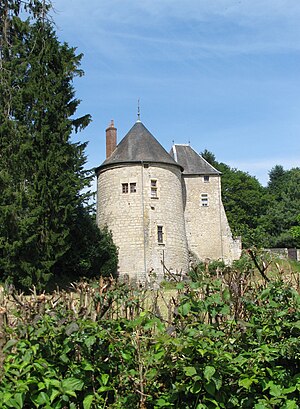
Parigny-les-Vaux
Commune in Bourgogne-Franche-Comté, France
Distance: Approx. 4033 meters
Latitude and longitude: 47.0925,3.1492
Parigny-les-Vaux (French pronunciation: [paʁiɲi le vo]) is a commune in the Nièvre department in central France.
Poiseux
Commune in Bourgogne-Franche-Comté, France
Distance: Approx. 4436 meters
Latitude and longitude: 47.1208,3.2328
Poiseux (French pronunciation: [pwazø]) is a commune in the Nièvre department in central France.

Pougues-les-Eaux
Commune in Bourgogne-Franche-Comté, France
Distance: Approx. 7662 meters
Latitude and longitude: 47.0753,3.1022
Pougues-les-Eaux (French pronunciation: [puɡ le.z‿o]) is a commune in the Nièvre department in central France. Pougues-les-Eaux station has rail connections to Nevers, Cosne-sur-Loire and Paris.
Saint-Aubin-les-Forges
Commune in Bourgogne-Franche-Comté, France
Distance: Approx. 6056 meters
Latitude and longitude: 47.1414,3.2022
Saint-Aubin-les-Forges (French pronunciation: [sɛ̃.t‿obɛ̃ le fɔʁʒ]) is a commune in the Nièvre department in central France.
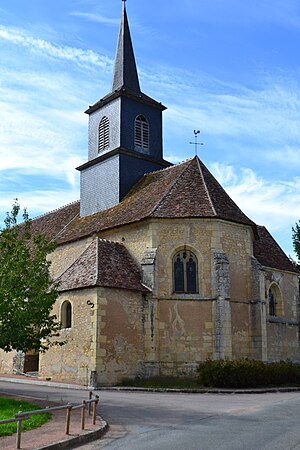
Saint-Martin-d'Heuille
Commune in Bourgogne-Franche-Comté, France
Distance: Approx. 4009 meters
Latitude and longitude: 47.0553,3.2269
Saint-Martin-d'Heuille (French pronunciation: [sɛ̃ maʁtɛ̃ dœj]) is a commune in the Nièvre department in central France.

Urzy
Commune in Bourgogne-Franche-Comté, France
Distance: Approx. 2740 meters
Latitude and longitude: 47.0625,3.2053
Urzy (French pronunciation: [yʁzi]) is a commune in the Nièvre department in central France.
Pougues-les-Eaux station
Distance: Approx. 8281 meters
Latitude and longitude: 47.07666667,3.09361111
Pougues-les-Eaux is a railway station in Pougues-les-Eaux, Bourgogne-Franche-Comté, France. The station is located on the Moret-Lyon railway.
Vaux d'Amognes
Commune in Bourgogne-Franche-Comté, France
Distance: Approx. 8563 meters
Latitude and longitude: 47.059,3.307
Vaux d'Amognes (French pronunciation: [vo damɔɲ]) is a commune in the department of Nièvre, central France. The municipality was established on 1 January 2017 by the merger of the former communes of Ourouër (the seat) and Balleray.
Canton of Guérigny
Distance: Approx. 361 meters
Latitude and longitude: 47.09,3.2
The canton of Guérigny is an administrative division of the Nièvre department, central France. Its borders were modified at the French canton reorganisation which came into effect in March 2015. Its seat is in Guérigny.
Weather in this IP's area
overcast clouds
19 Celsius
19 Celsius
18 Celsius
19 Celsius
1021 hPa
95 %
1021 hPa
995 hPa
10000 meters
1.67 m/s
3.93 m/s
36 degree
94 %
06:21:39
21:25:30